A magical 2018 trip to the Cirque of the Towers forever cemented the Wind River Range as a special place in my mind. Yet, despite being a shorter drive than Indian Creek, I had not made it back since moving to SLC. Eager to change this, and itching to get a final ski adventure in, Garrett and I decided to take advantage of the long weekend and do a ski traverse in the range.
In 2019, Garrett and Hunter had traversed up Tourist Creek, around Gannett, and out Wells Creek. The trip had been a major success so Garrett, excited to explore the terrain north of that route, proposed a similar traverse along the Continental Divide that would finish out Tourist Creek. Our route can be found below:
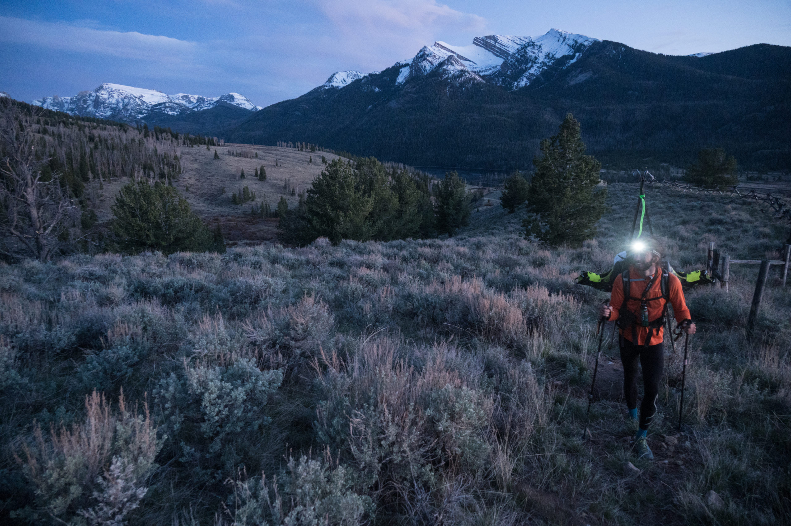
As seems to always happen on Friday departures, we got delayed leaving Salt Lake City. On the drive we debated whether or not to approach the Divide via the longer but more known Roaring Fork, or the more direct but uncertain route up Mill Creek and over Osborn Peak. Eager to avoid extra miles of bushwhacking we settled on going over Osborn peak. We arrived at the Green River Lakes trailhead around 8:15pm, ensuring some grim night hiking in order to stay on our planned schedule of camping near the snow line. The beautiful sunset over Green River Lakes more than made up for it, however, and we burned most of our remaining daylight savoring the views and taking pictures.
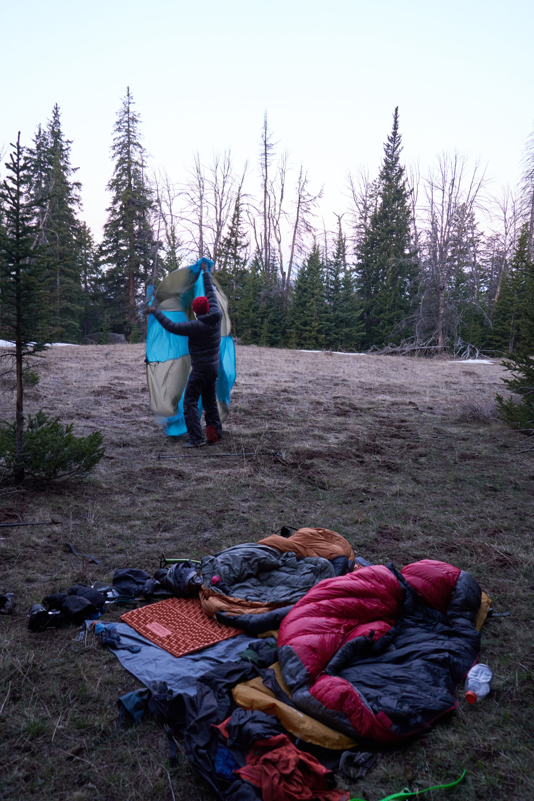
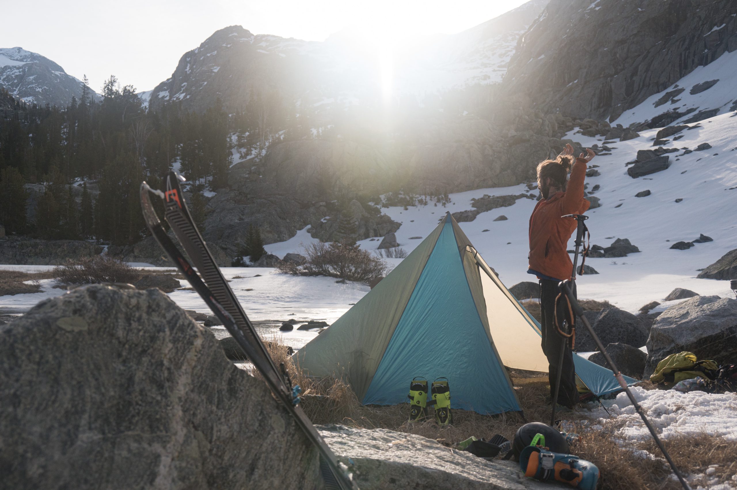
We were finally moving around 8:45pm and used the last of the daylight to make sure we were on the right ridge to take us up towards Mill Creek and Osborn Mountain. Much to our dismay, we discovered my phone had failed to properly download the area on Gaia and Garrett’s GPS wasn’t working so we were left trying to estimate our location on his map. We put our heads down and trudged uphill for the next hour and forty-five minutes, eventually stumbling into an open clearing scattered with patches of snow. Unsure of our location and satisfied with our progress we set up camp and settled in for a short night of sleep.
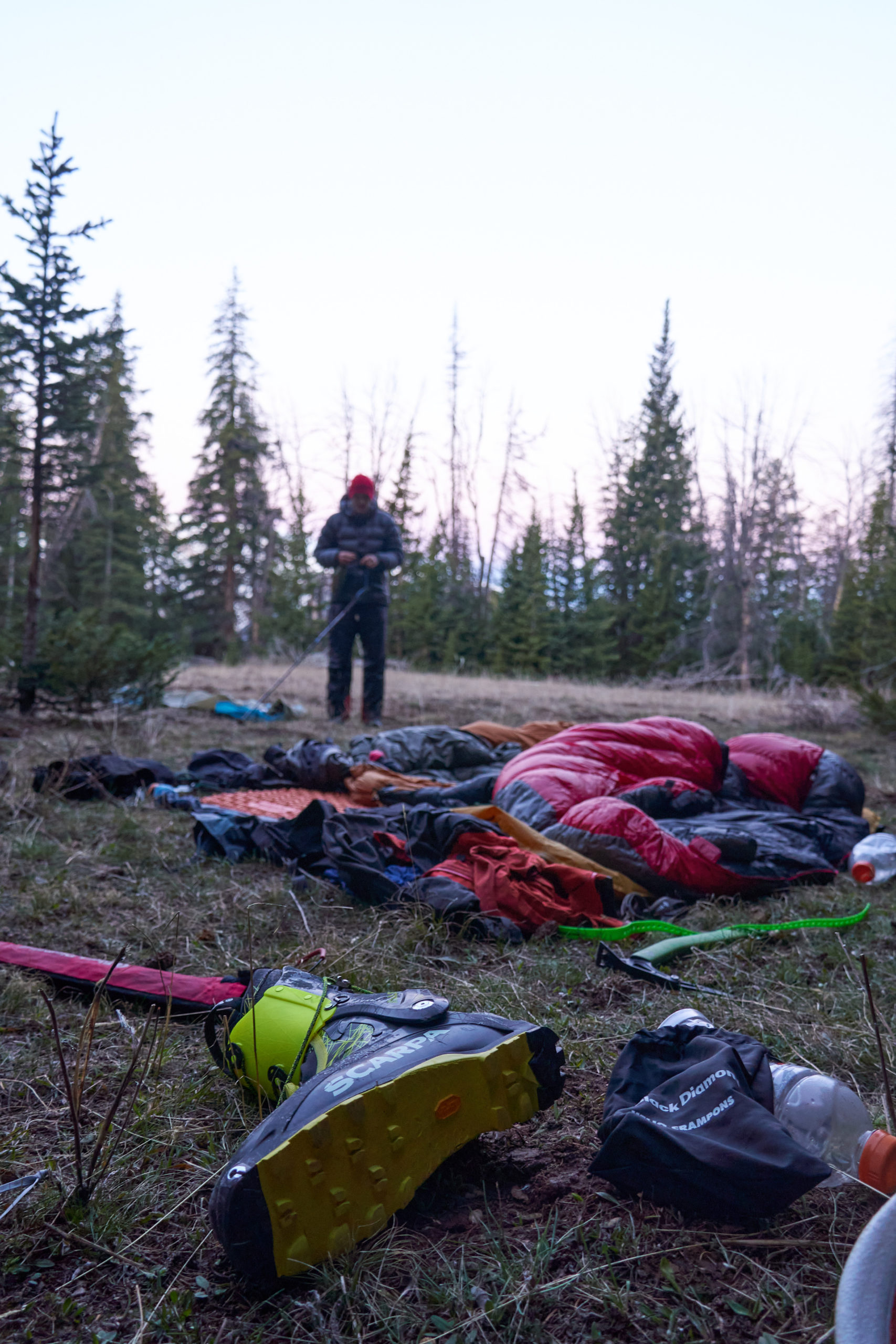
Knowing we had a big day ahead, we woke up at 5:30am and were packed up and moving by 5:50am. We were both relieved that the ice axes we had brought into the tent to fight off hungry bears had remained unused.
It ended up being a good thing we had stopped when we did, because we ended up being north of the main Mill Creek drainage. Thirty minutes of traversing and bushwhacking and we found our way to the creek. We were thrilled to see that the north aspect of the creek had continuous snow and we stopped at the creek for a quick breakfast and to change into ski boots.
Travel up Mill Creek was wonderfully easy, with firm, deeply frozen snow and very little navigating.
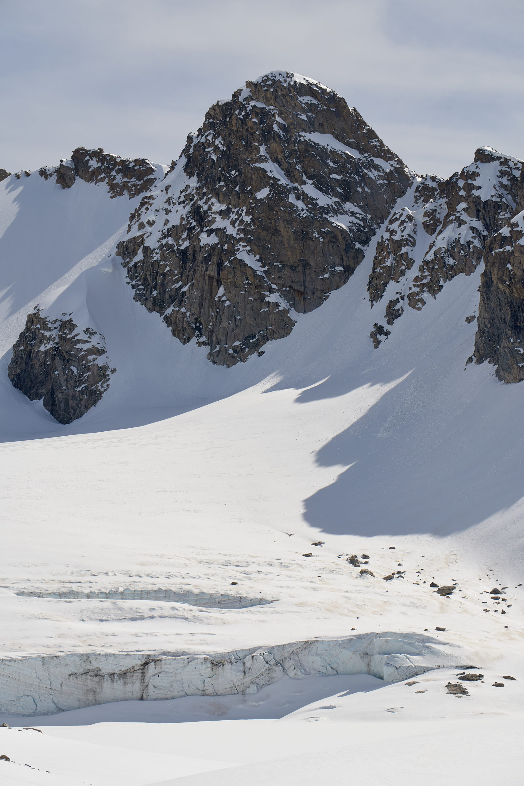
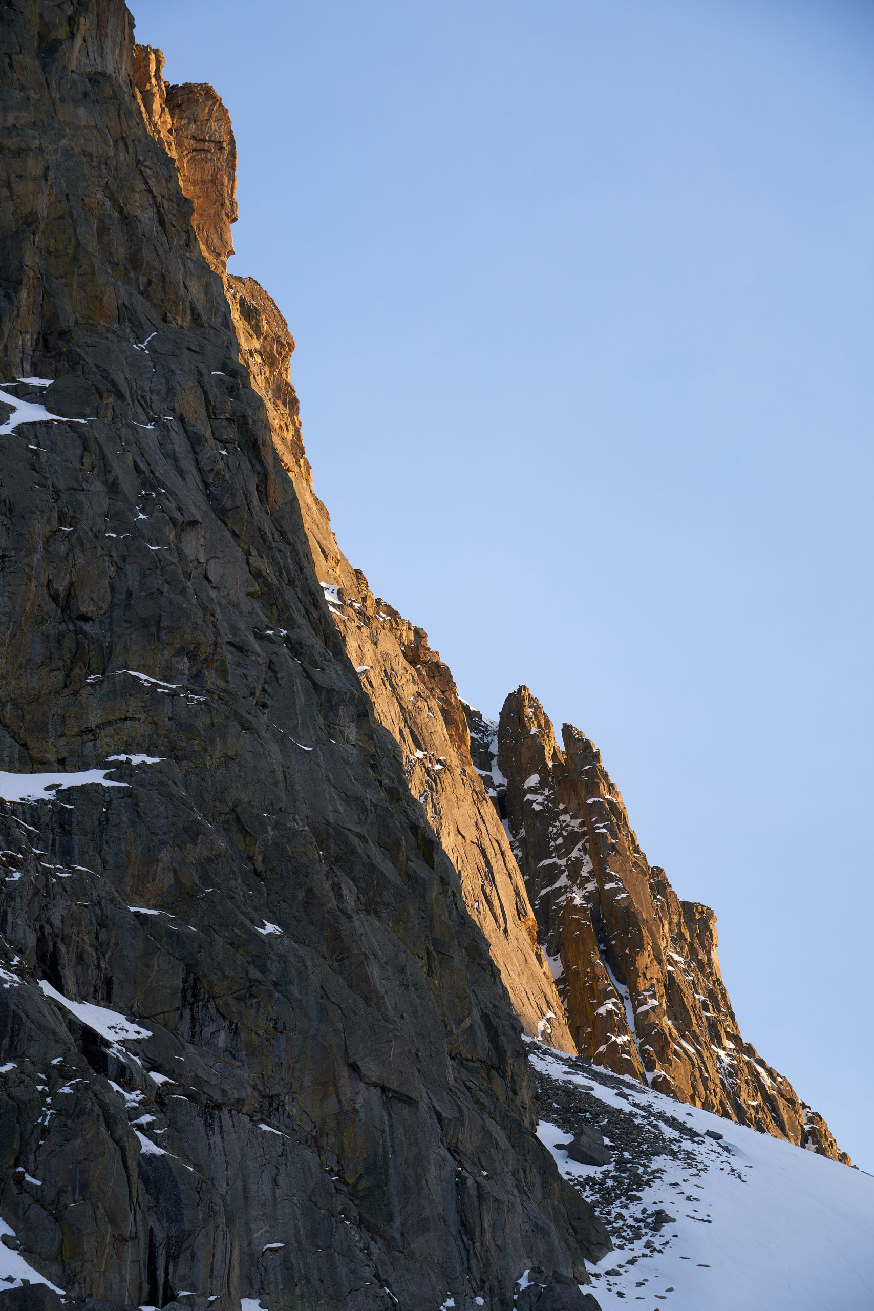
We popped into the sun and onto the summit plateau of Osborn Mountain about two hours after leaving camp. Osborn Mountain is a hulking behemoth of a mountain, with a plateau over a mile across. On the far side of the plateau lies the steep east face, made up almost entirely of massive cliffs. The face was clearly impassible except for a narrow ridge that snakes down into the drainage below. We had no idea if this ridge actually went, but we had decided to gamble on it when we chose to go over Osborn, knowing that if the ridge proved too narrow or jagged it could mean a very early end to our trip. We took a minute to make sure we were headed the right way across the plateau and then set off.
The plateau was even larger than it had looked on the map, and we trudged across the expanse, the Continental Divide visible on the horizon.
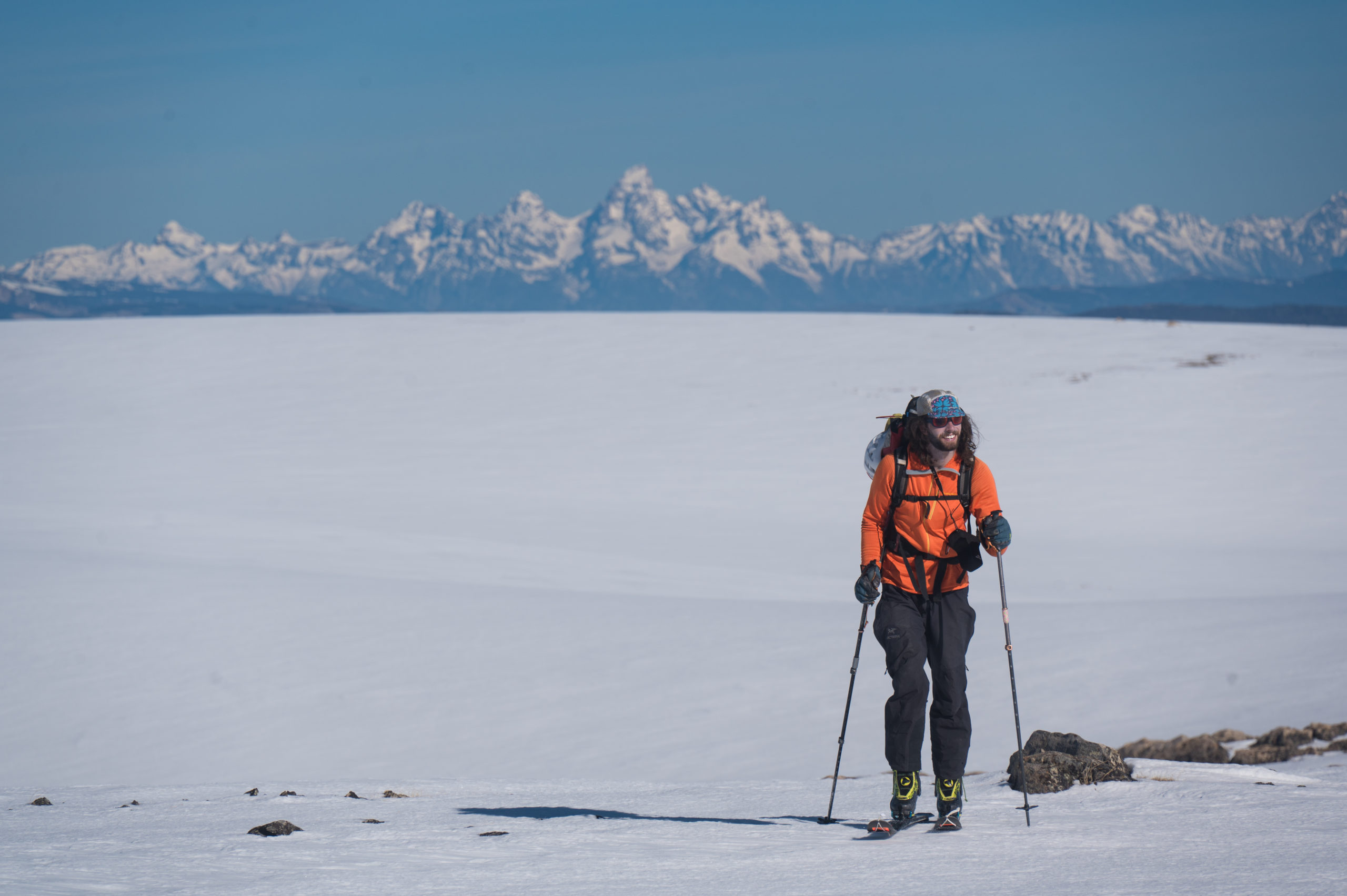
As luck would have it, the weather was great and visibility was astonishingly good. The Tetons provided a great contrast to the featureless plateau and we reflected on how un-fun being a polar explorer must be.
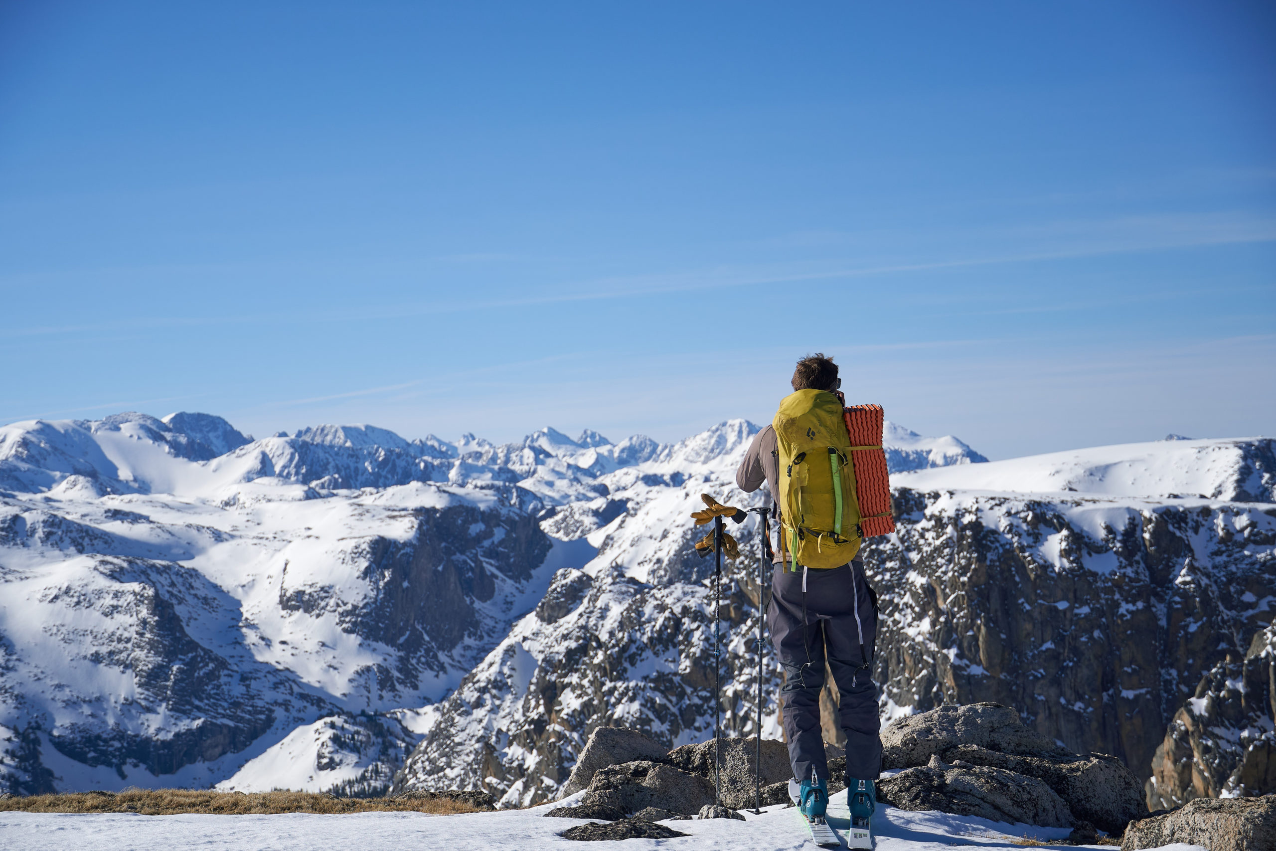
Eventually we reached the east side of Osborn. The vast, complex terrain of the Winds became visible to the south. We looked down into Clear Lake drainage, marveling at how much deeper and convoluted the valleys looked in person compared to the map, a constant theme of the trip.
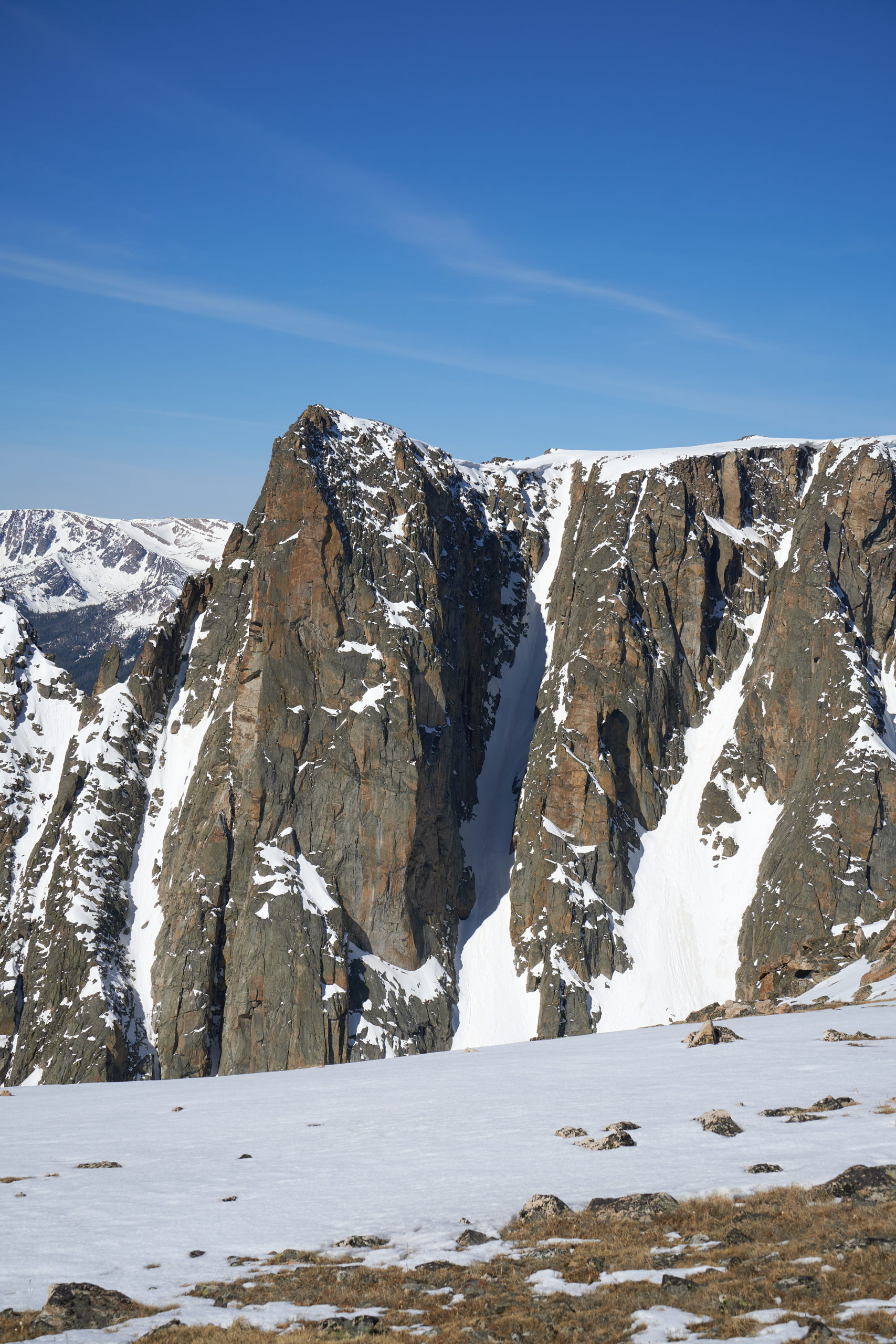
We spent some time admiring the many chutes that lined the cleft on the south side of Osborn. To anyone not on toothpick skis who is comfortable straight-lining 50 degree slopes miles away from civilization, the Wind River Range is the next great freeride destination!
At a high spot, we transitioned into downhill mode and set off in search of the east ridge. Finally some downhill!
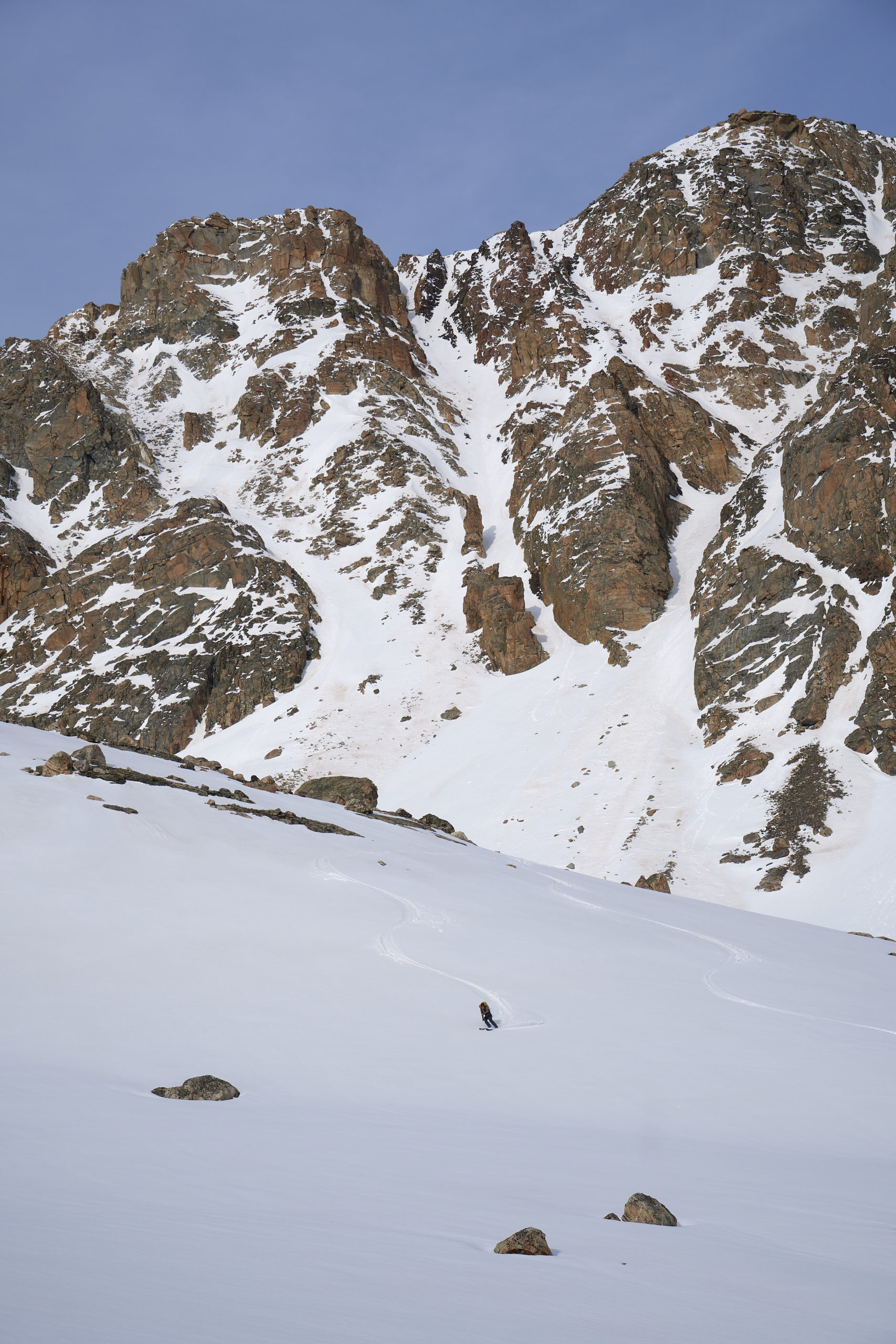
After a cool little col and an easy rock step, we found ourselves on top of the ridge. We were relieved to find mellow upper-slopes and great snow. We set off traversing down the ridge, cognizant of the large cliffs that lay below us.
Eventually the cliffs ended and the slope opened up beneath us, mellow and containing perfect spring corn. We opened it up as much as our flimsy boots and heavy packs would allow.
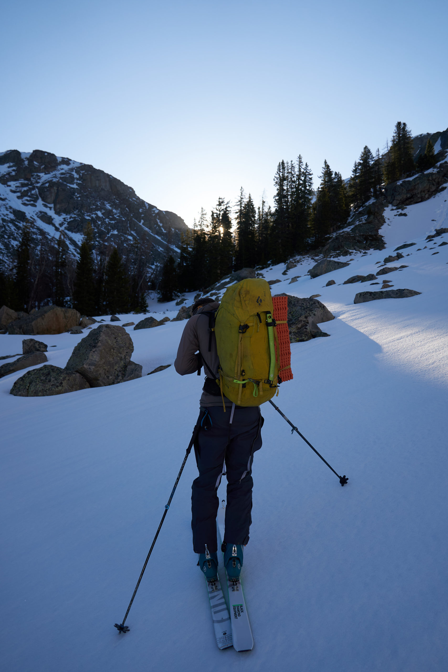
Successfully off of Osborn Mountain we steeled ourselves for the long, gradual trek up to the Continental Divide. The gradual ridge opposite Osborn was wind-swept and melted out so we started the trek on foot, stopping briefly in some rocks to further admire the views.
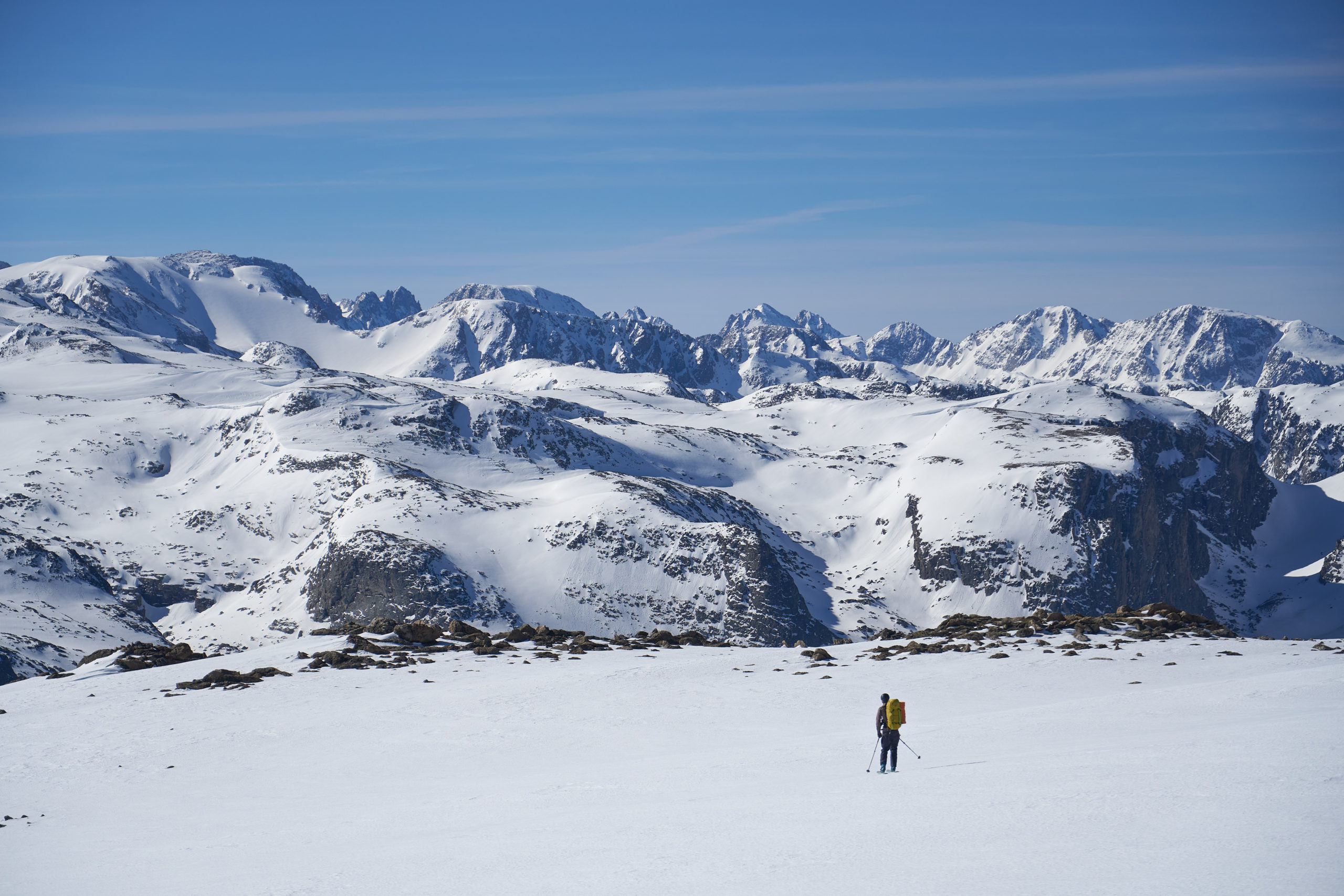
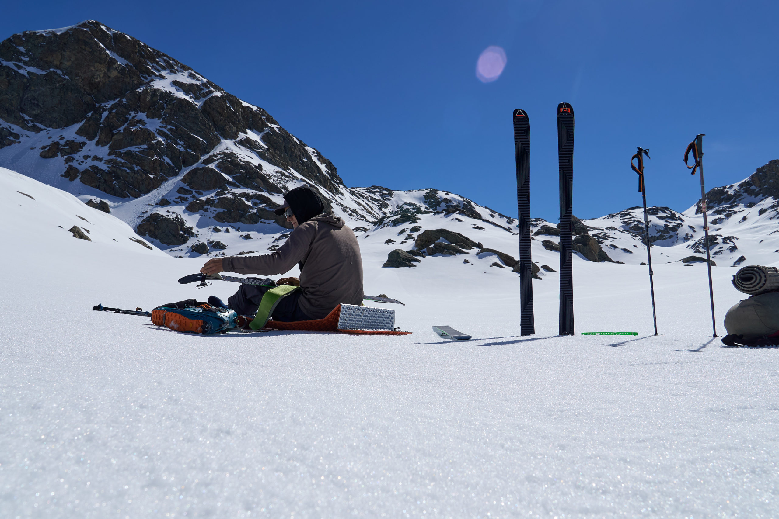
Eventually we were back and snow and we switched back to skis and continued to skin up the gradual, rolling terrain. After about four and a half hours on the go we stopped for a break to air out our feet and savor the perfect spring weather. We got some reggae queued up on my phone and sat back to enjoy some snacks. It felt like a day at the beach.
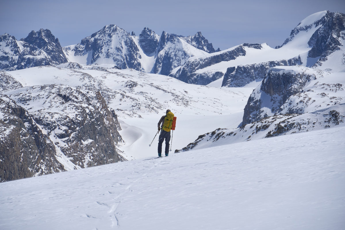
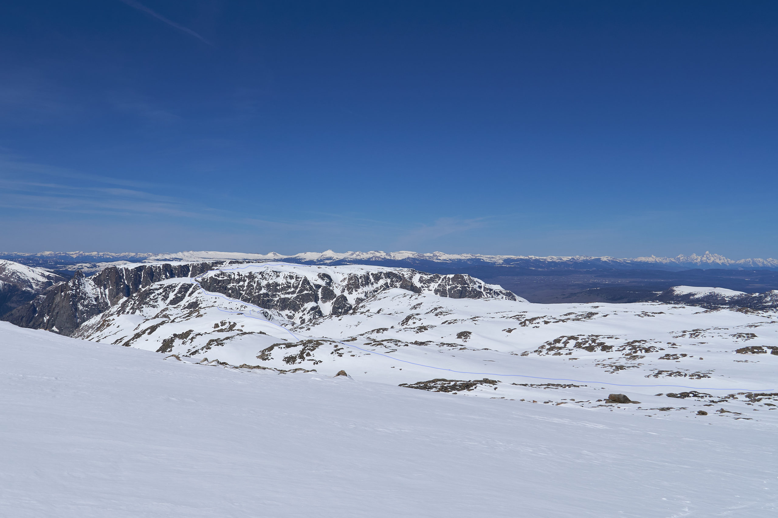
Rejuvenated, we started up the final ascent to the Divide. This section was perhaps my least favorite of the trip. The gradual slope seemed endless and now over 12,000 feet, the altitude began to set in. To make matters worse, this part of the divide contains no prominent peaks so we slogged towards a vague, endlessly foreshortened ridge-line. It ended up being almost four miles from where we stopped to the Divide. The only satisfying part was looking backwards and seeing how much terrain we had already covered. The photo shows our approximate route over Osborn and up to the divide in blue.
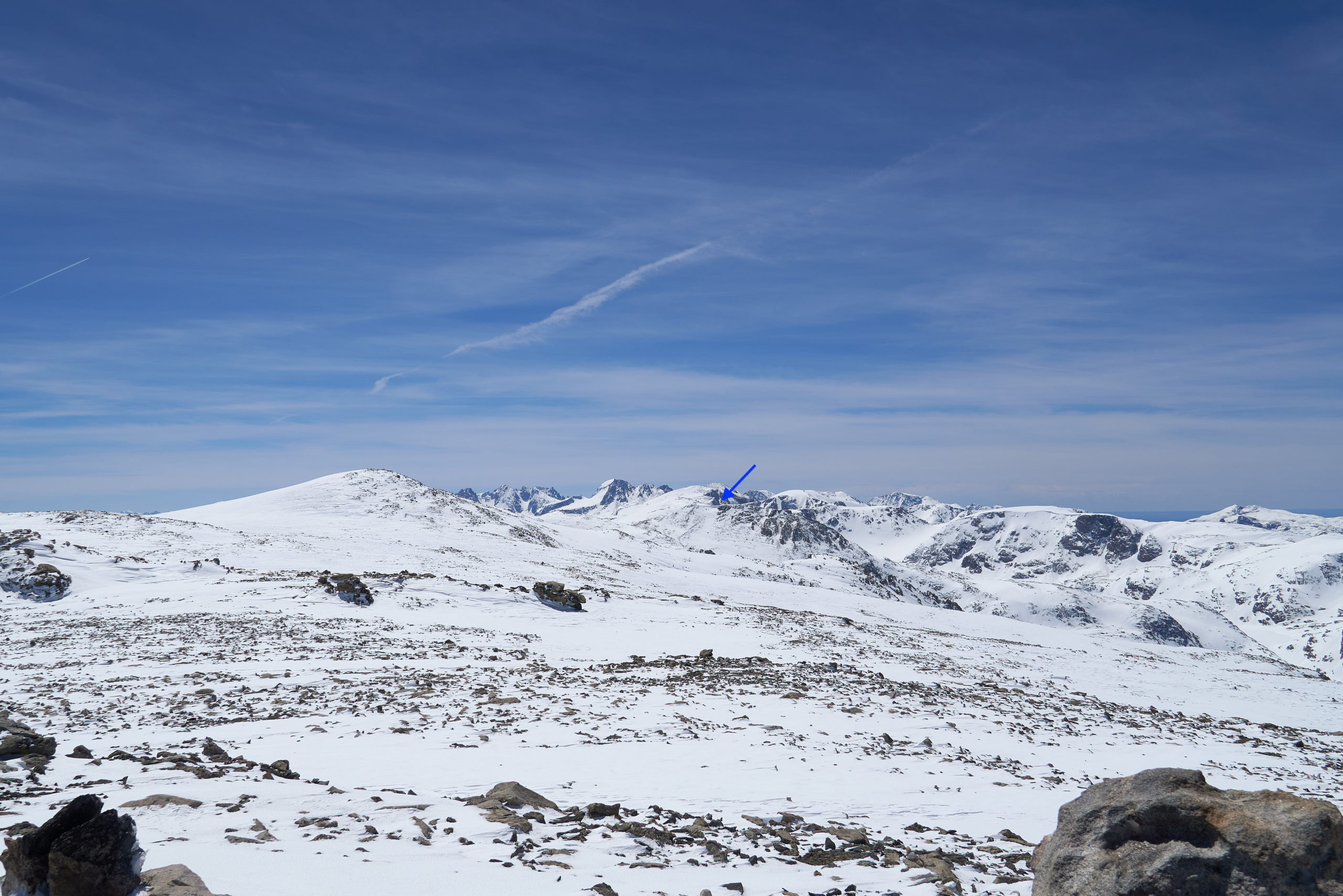
After what felt like forever, we finally made it on top of a little rise right off the Divide. From there we got our first good view of the rest of the route. Northwest Peak, the first named summit along the Divide (I’ll keep re-using Divide because neither “ridge” nor “crest” convey the breadth of the terrain up there) sat a bit to the south. Gannett jutted up elegantly in the distance, but the terrain between us and the notch into Tourist Creek looked rolling and slow. We braced ourselves for a long day. It did feel good to be finally heading towards our destination and the stark wilderness of the northern Winds was on full display. We had seen no signs of any other humans since we had left the parking lot, and we knew we were probably miles away from the nearest person. The distant notch into Tourist Creek is marked with a blue arrow in the photo below.
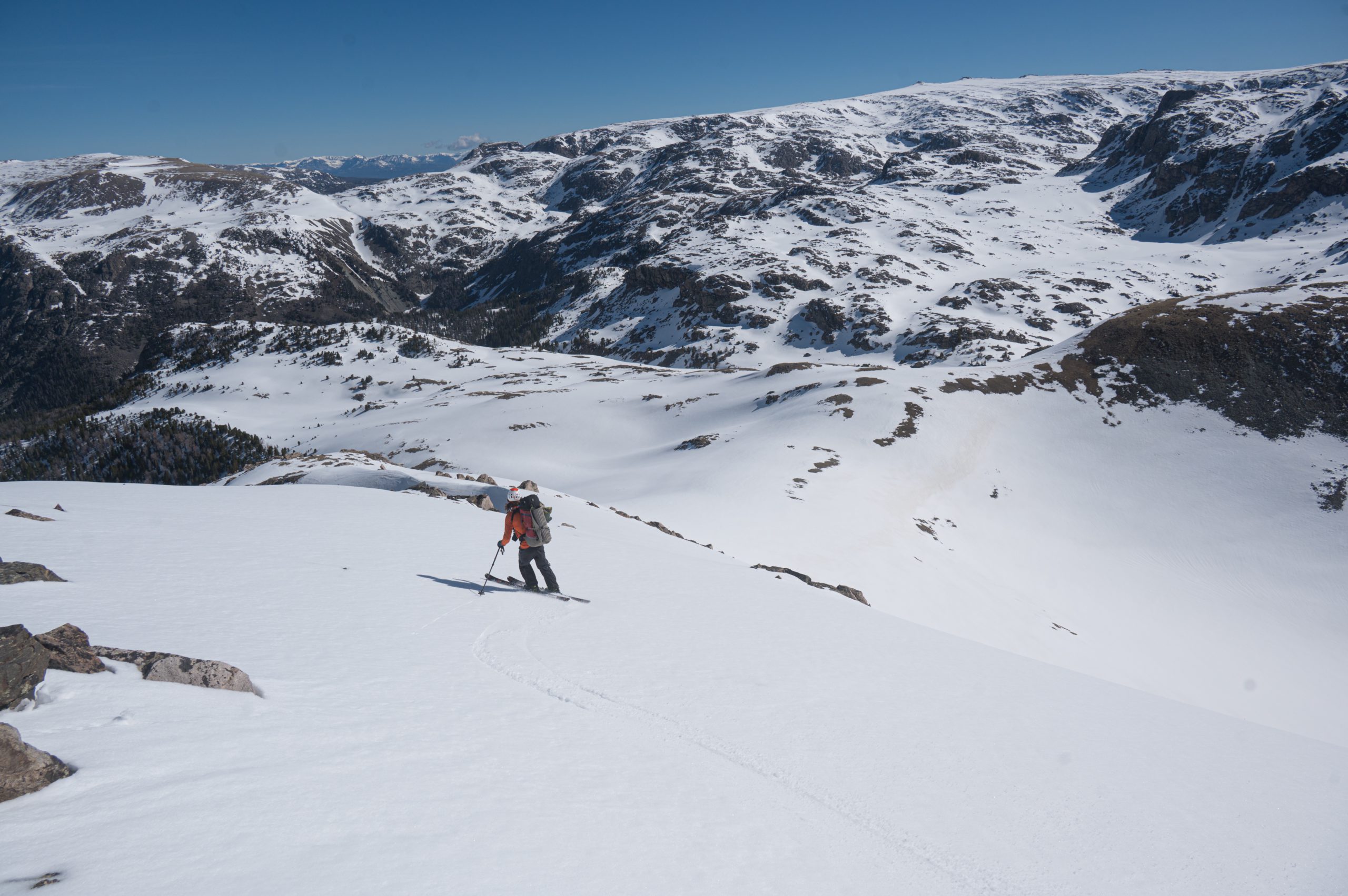
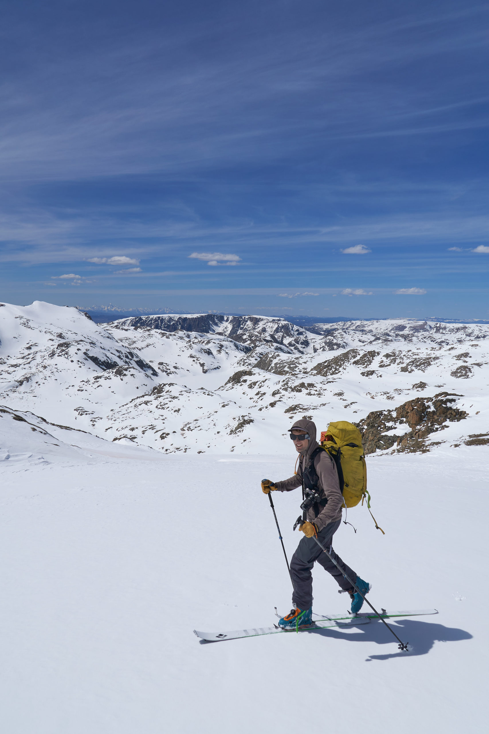
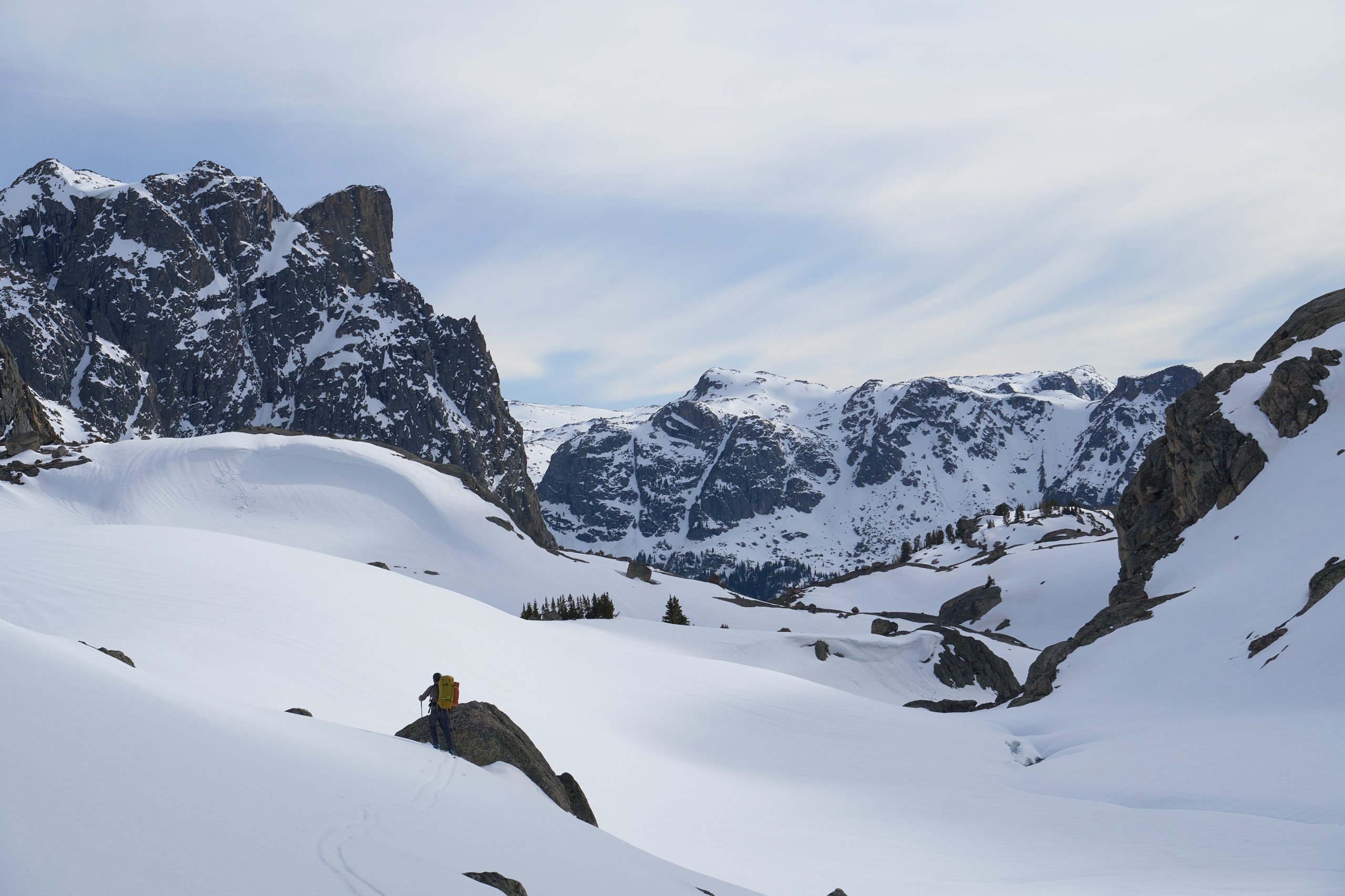
We picked our way through the rocky terrain and skinned up to the summit of Northwest Peak. Northwest Peak sits just over 13,000 feet and we paused for a bit on the summit to figure out our next move. The terrain along the Divide is surprisingly complex and throughout the day we found ourselves adjusting our path to account for the reality on the ground. The notch/bowl south of Northwest Peak was no exception. We had originally thought we might be able to sneak around the east slope to avoid having to descend and climb out of the bowl. Seeing it in person, we realized this was entirely unrealistic and instead committed to descending into the notch. The descent offered some nice continuous skiing and it was fun to see Garrett looking so small against the majestic backdrop.
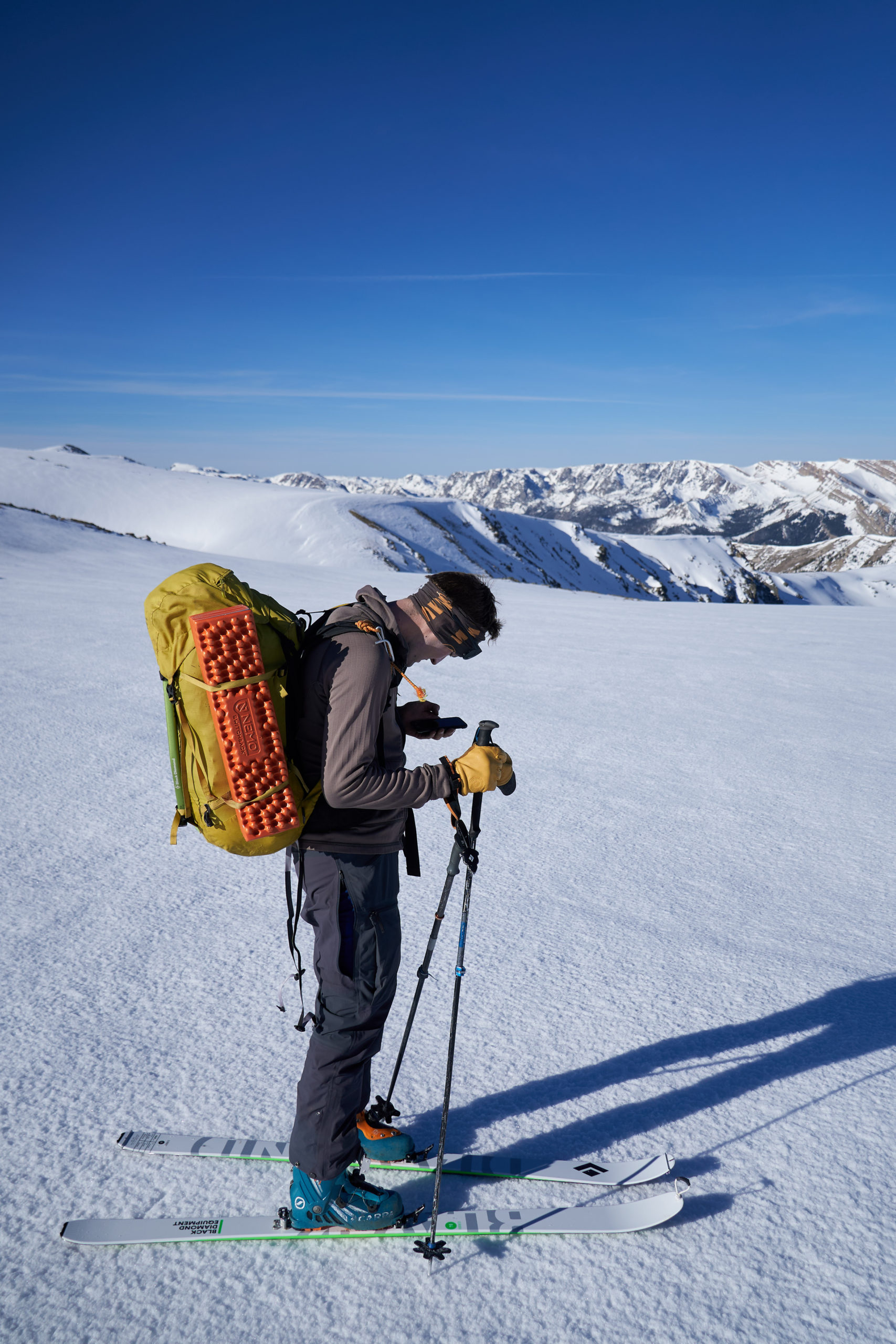
Climbing out of the bowl ended up being steeper and more exposed than we expected. It was too steep to easily skin so we took off our skis, pulled out our ice axes and quickly booted up, trying to minimize our exposure on the quickly warming snow. The hard effort, still well above 12,000 feet, brought on a solid bonk for both of us so we stopped on the plateau above the bowl to recover and look at the map. Gannett still looked discouragingly far away and I think we both hit a low while we considered how much further we had to go. Garrett below, questioning our life decisions, with Northwest Peak behind him:
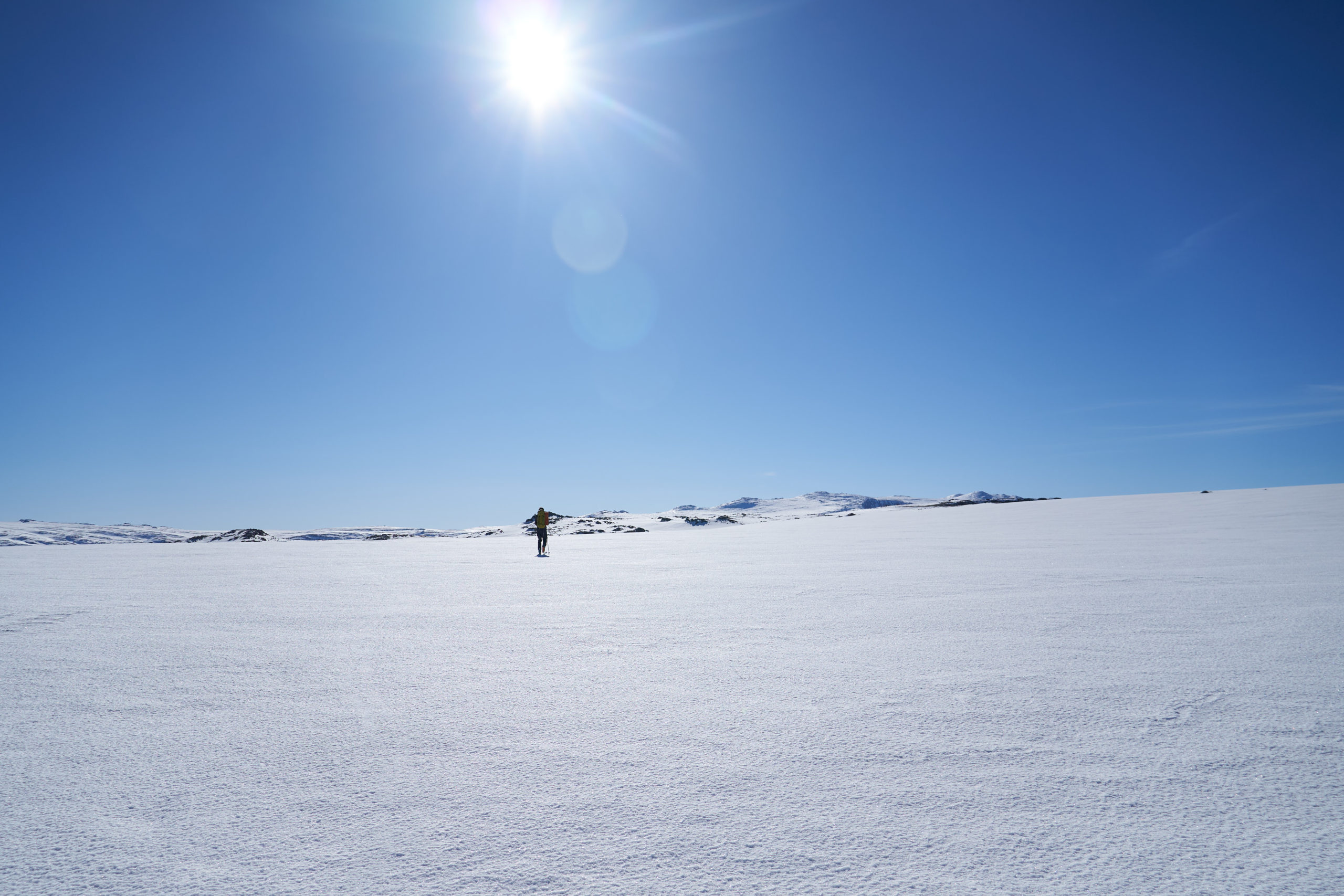
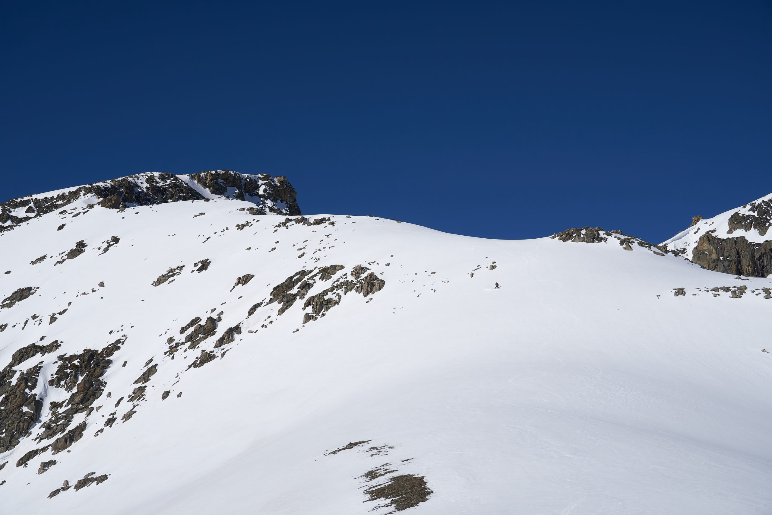
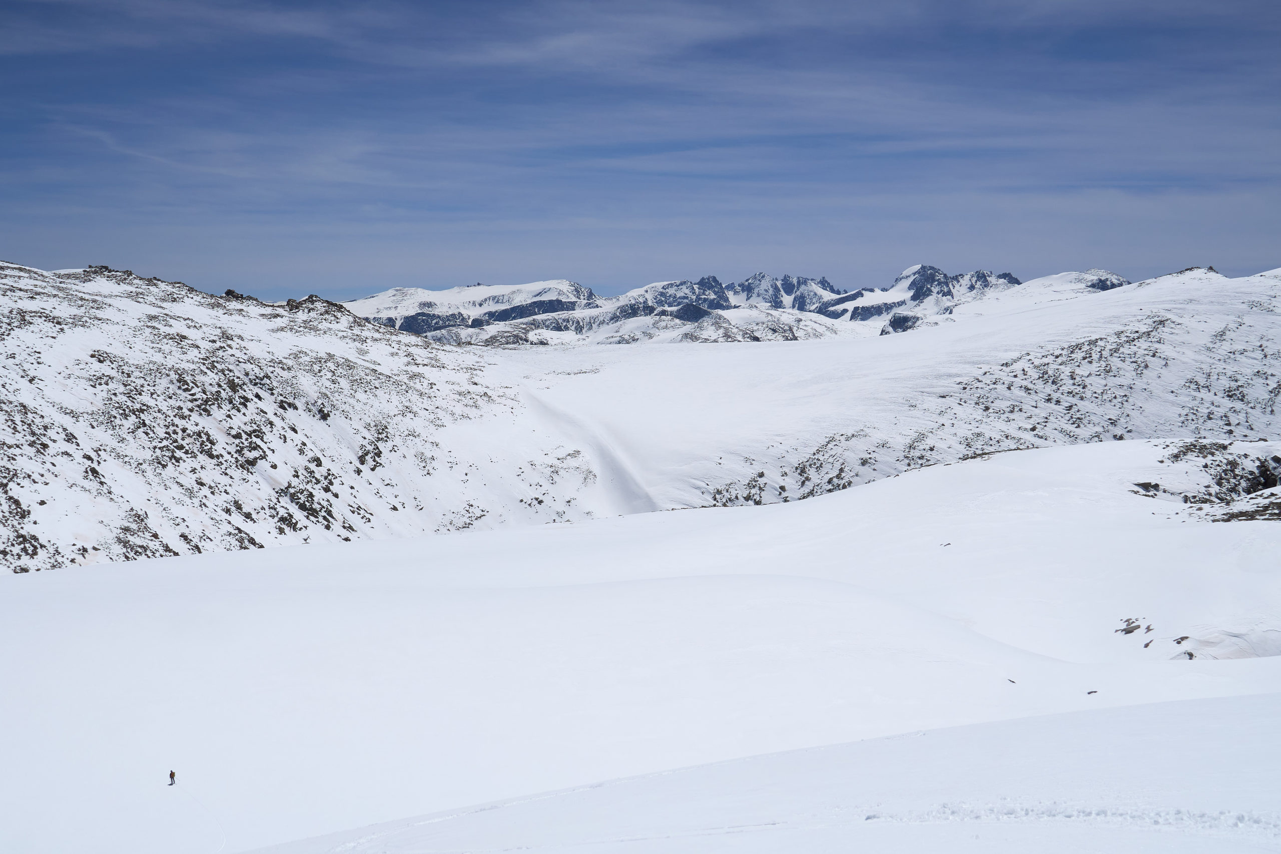
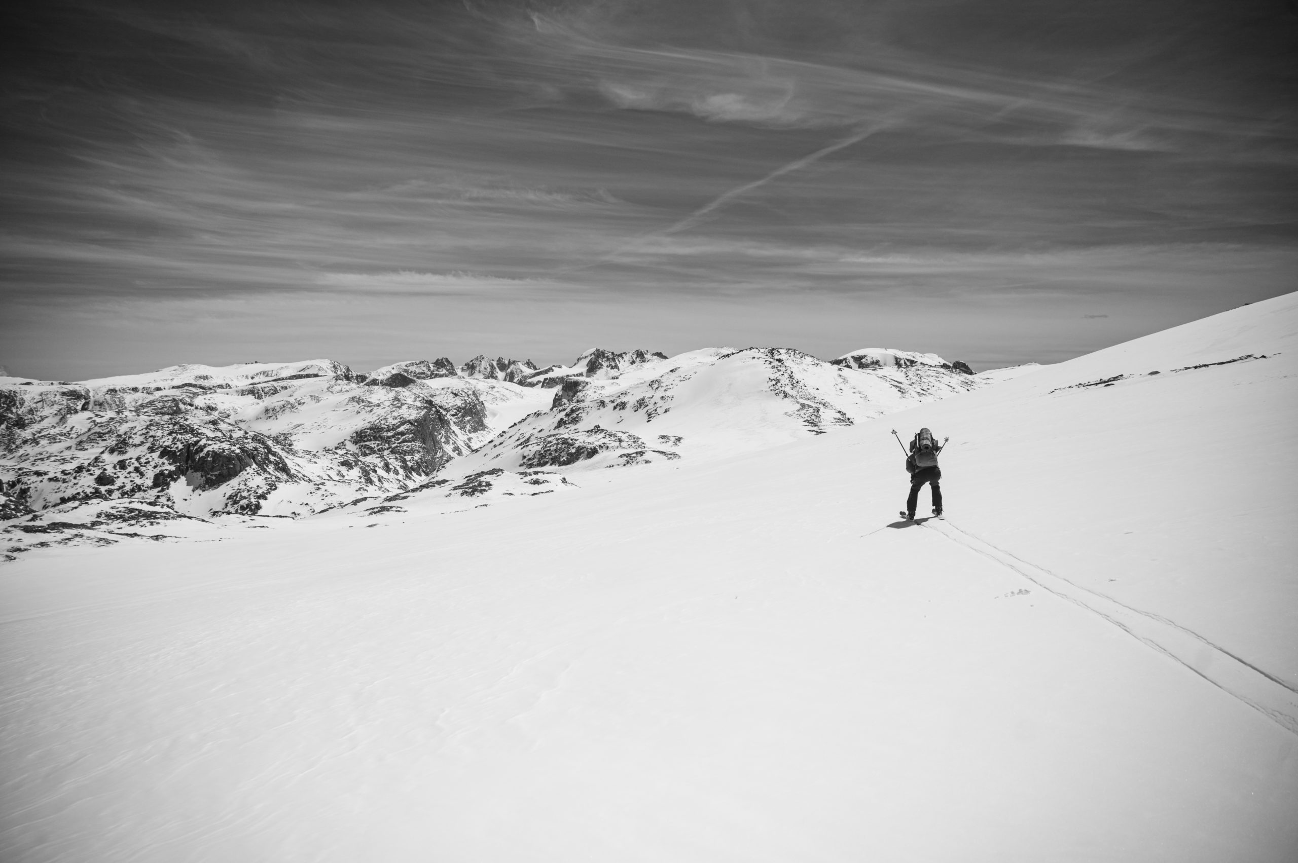
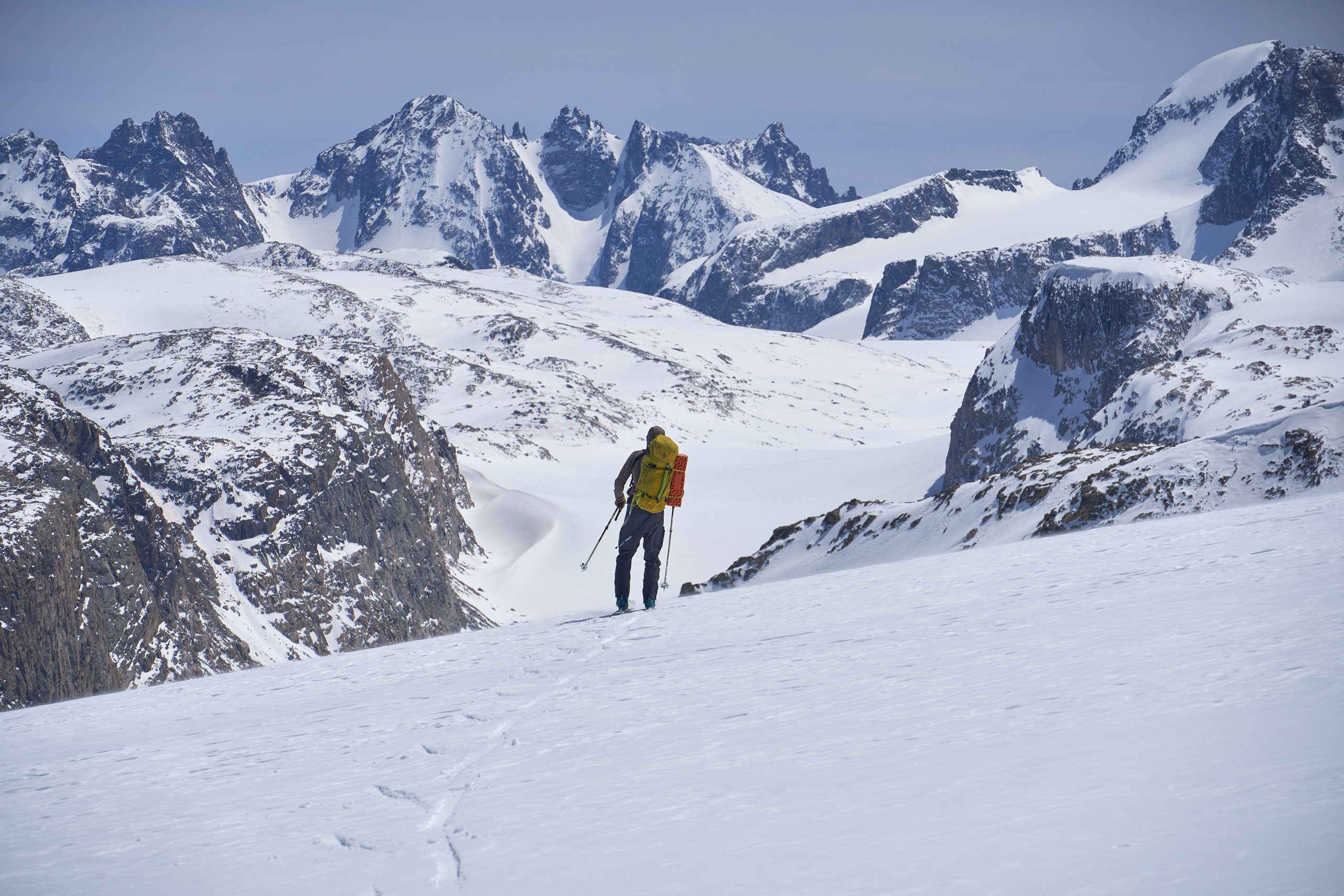
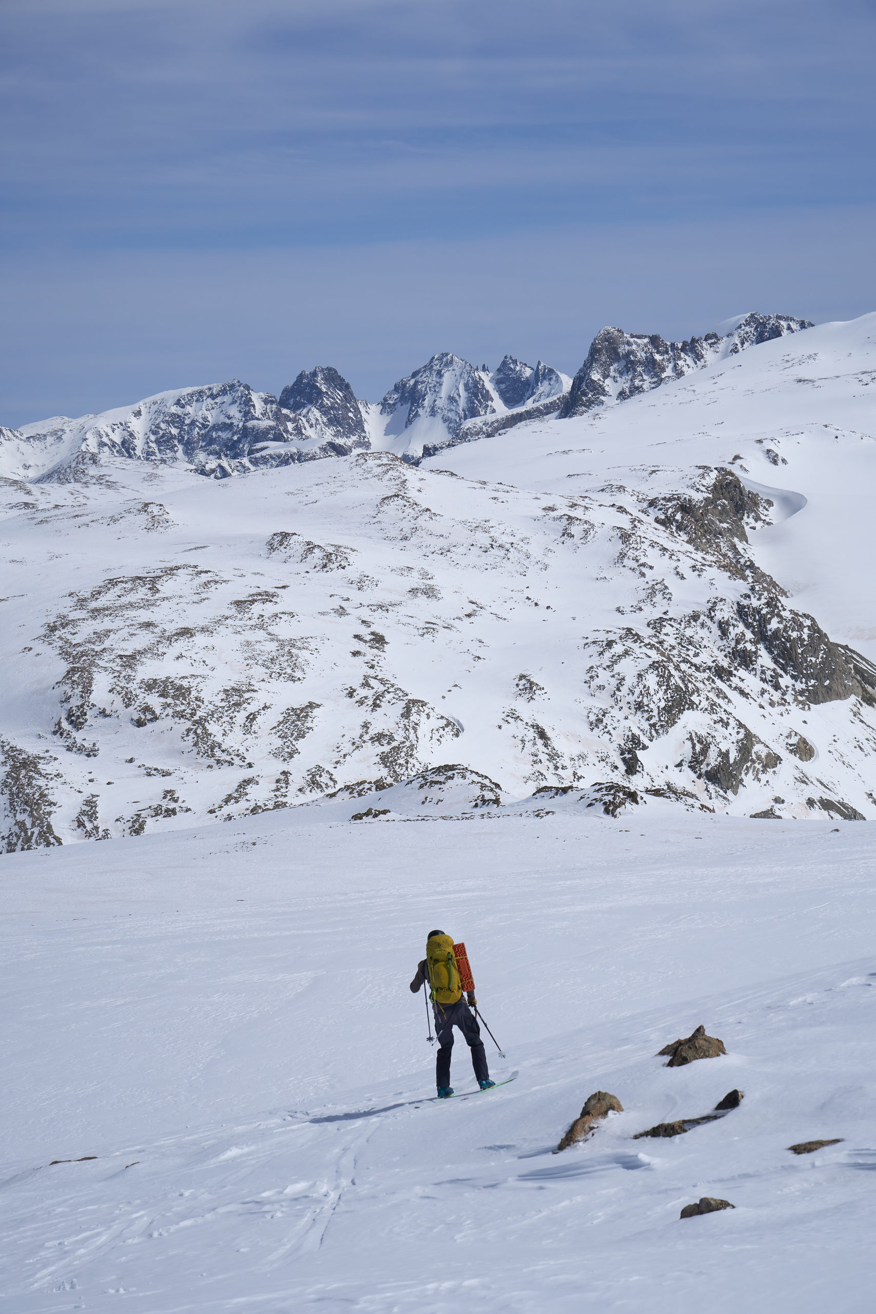
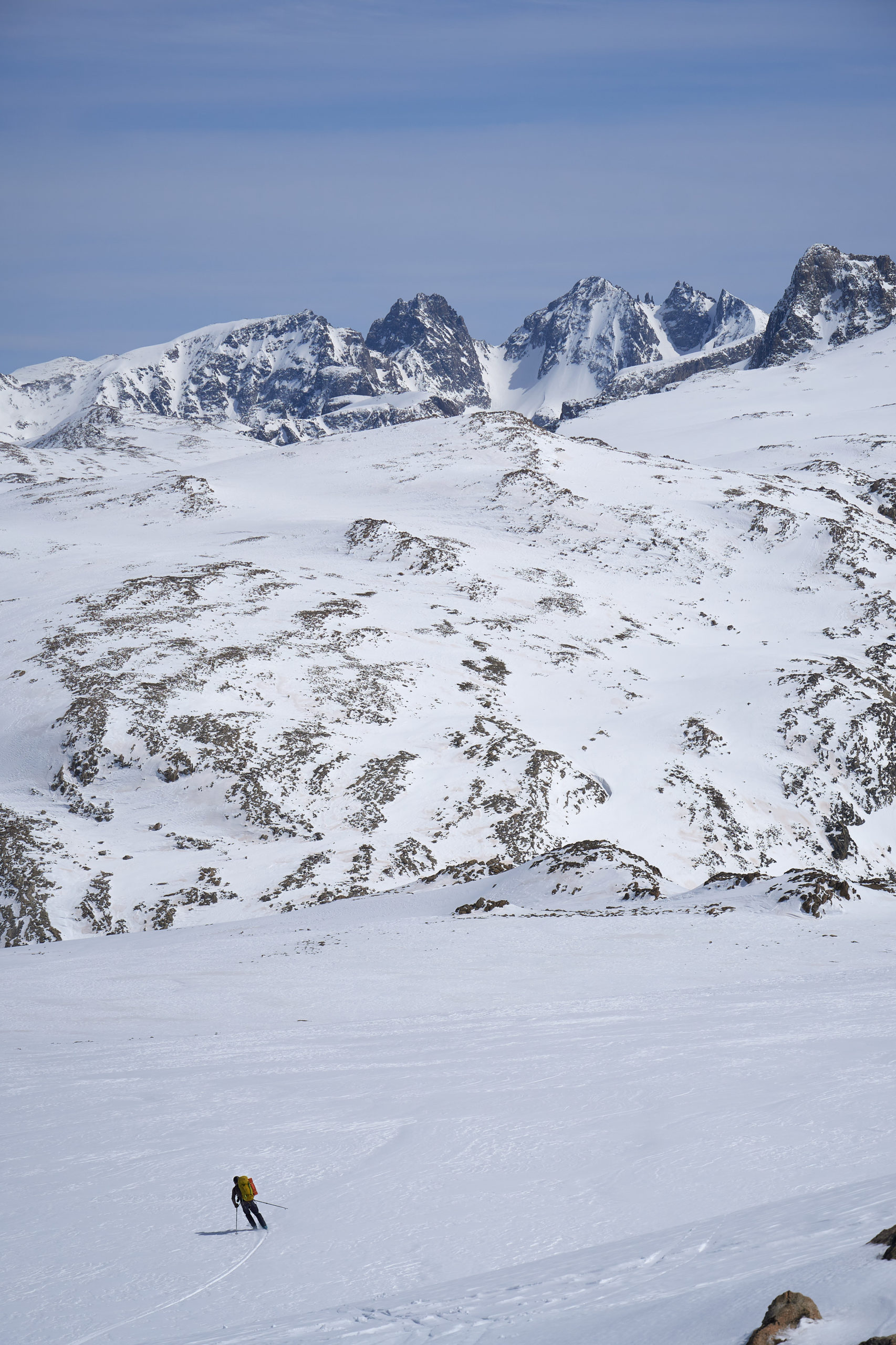
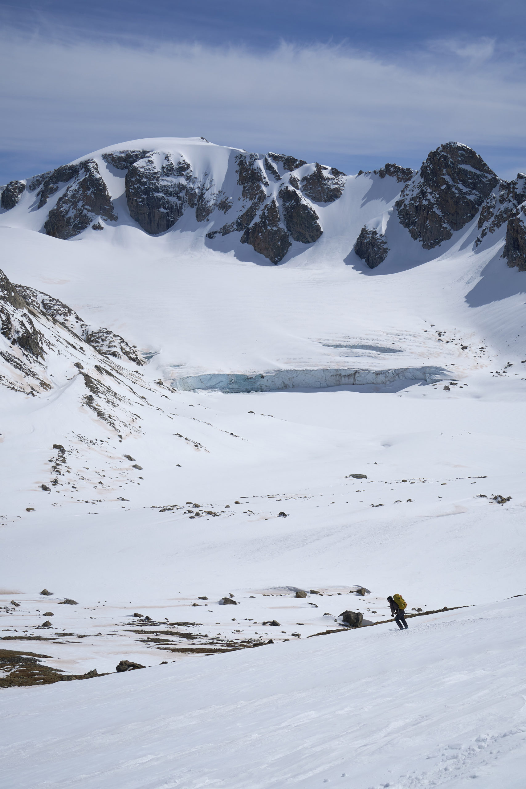
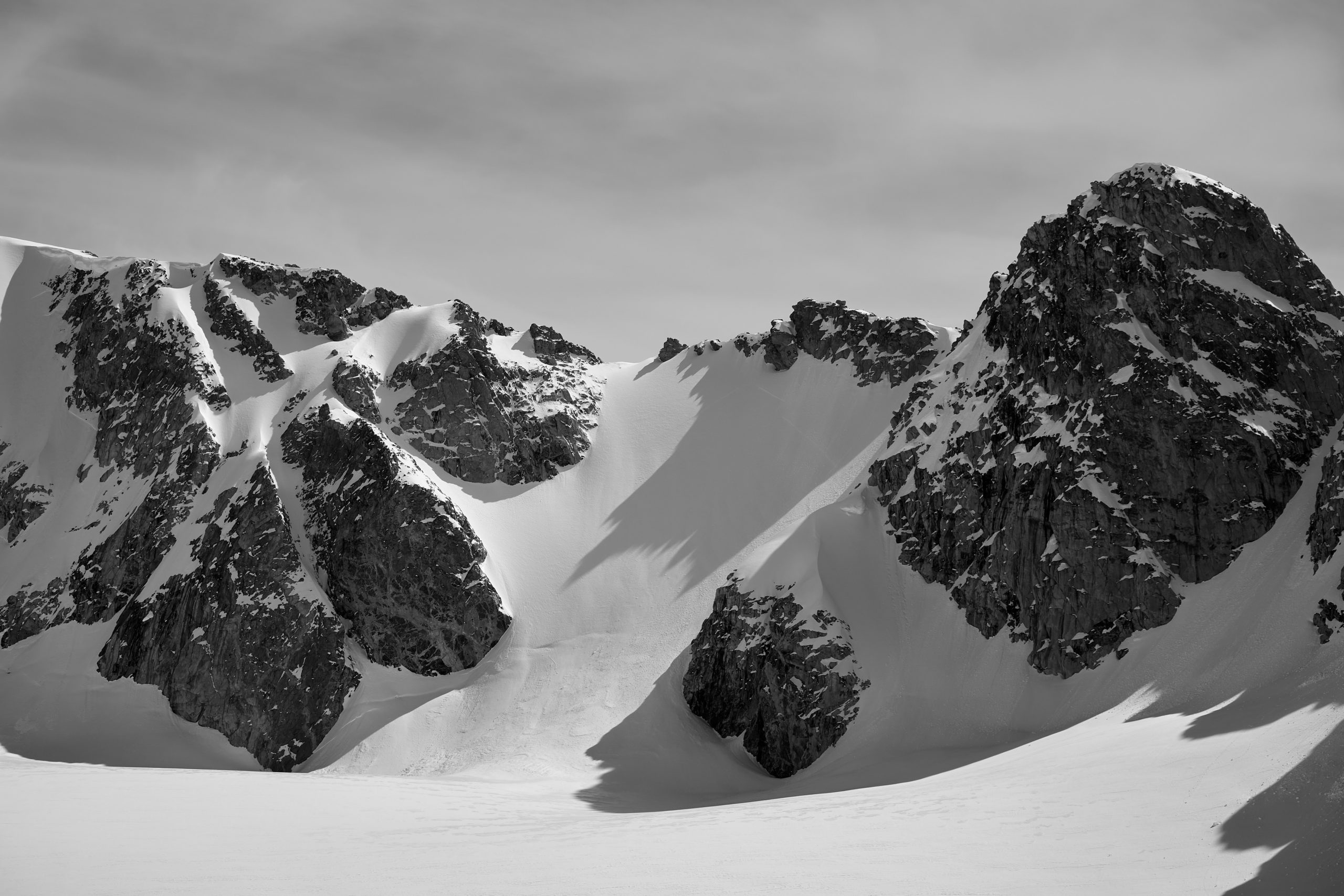
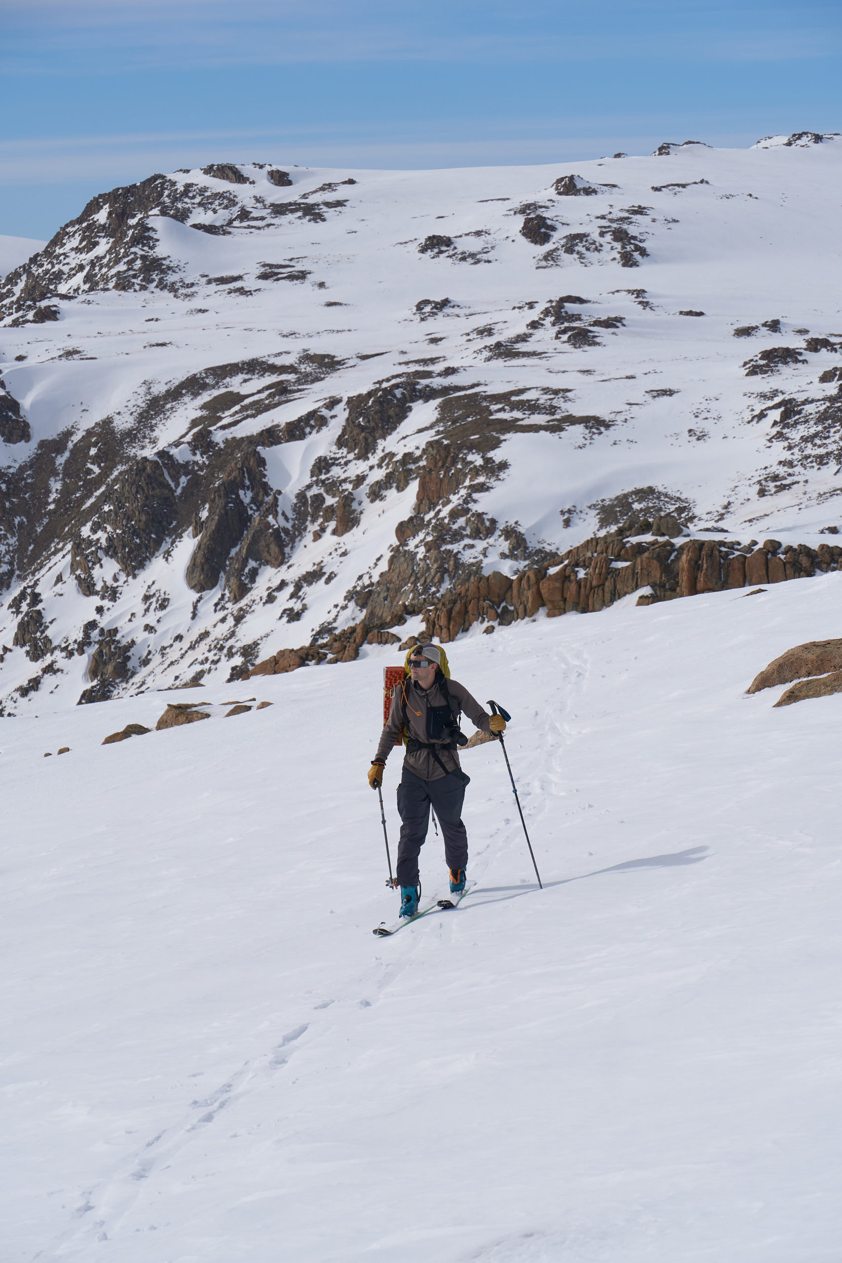
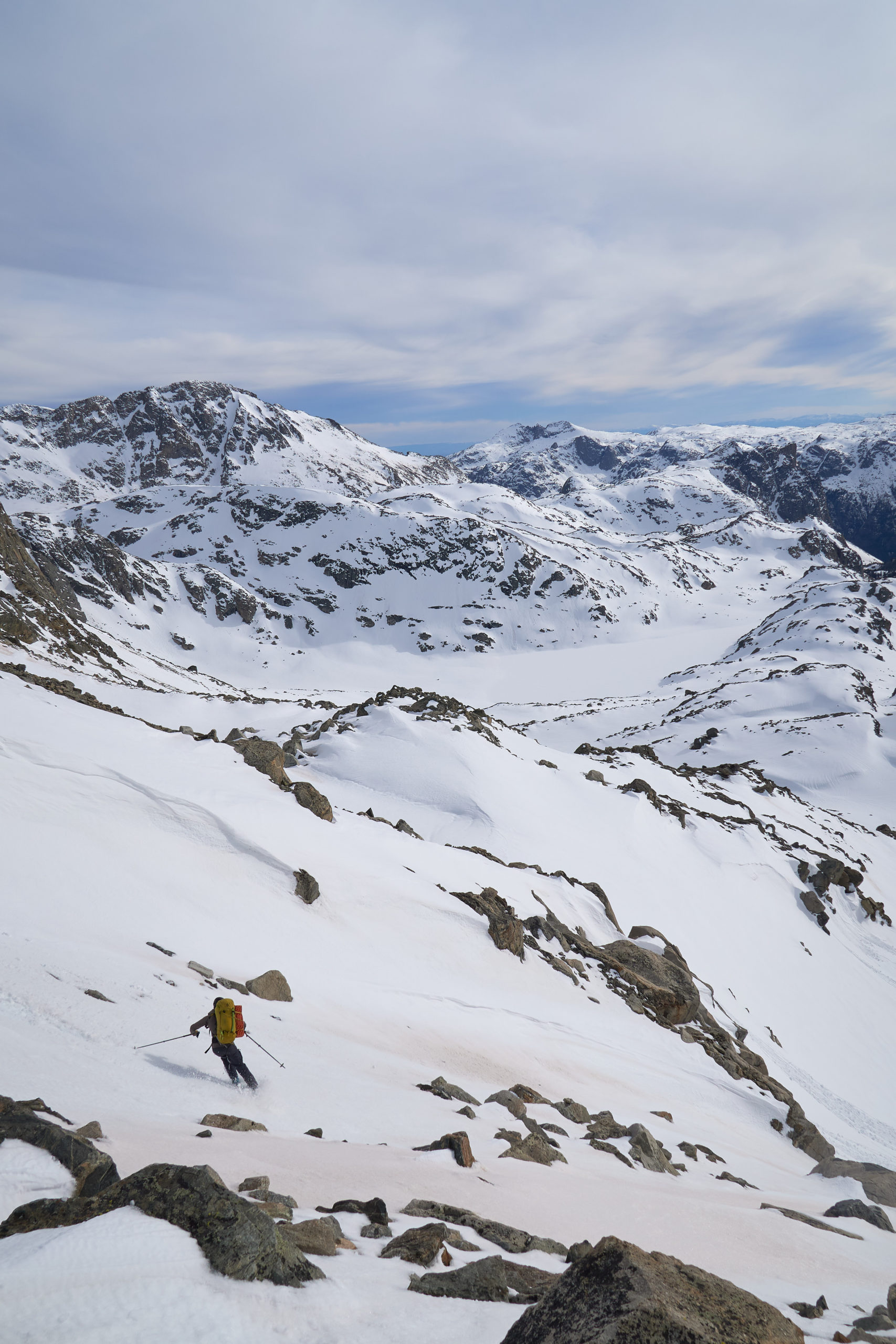
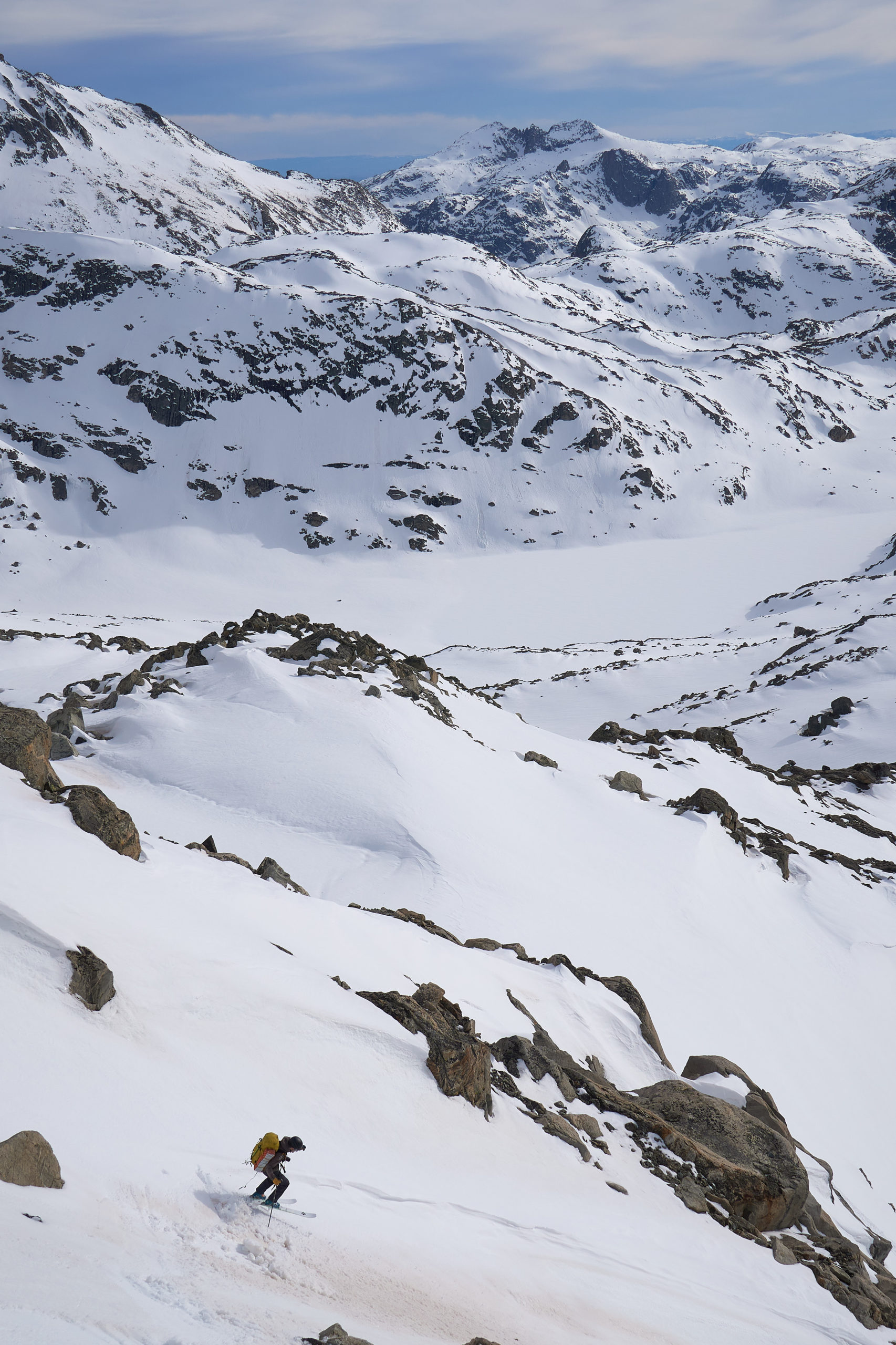
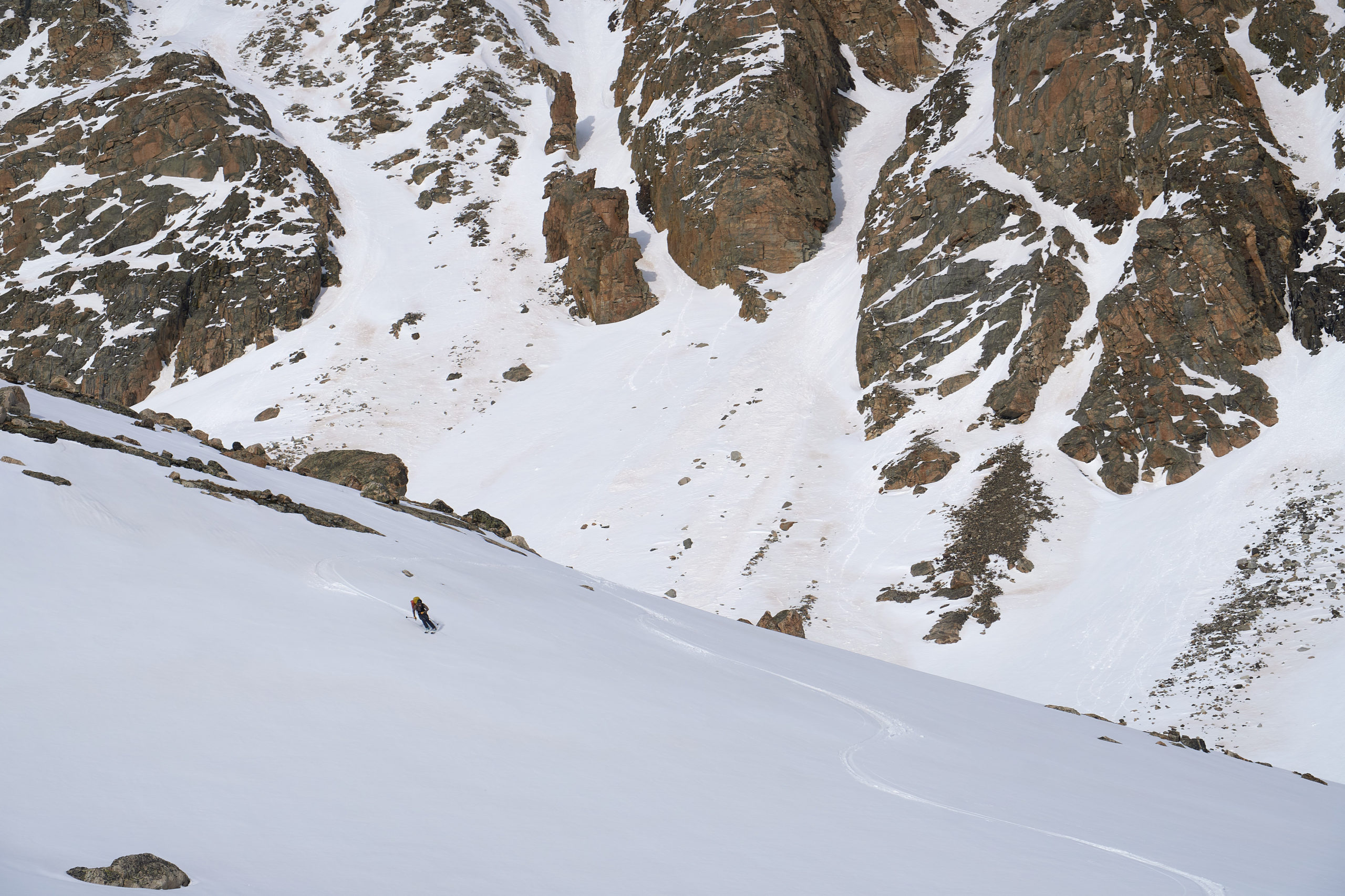
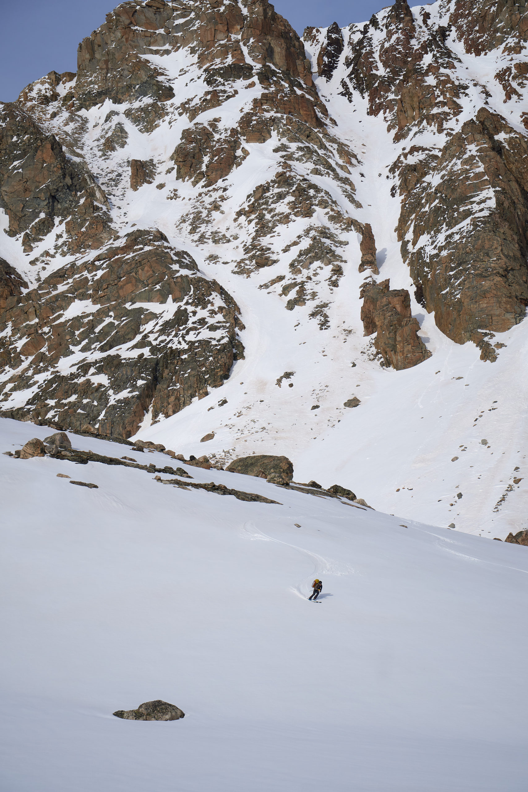
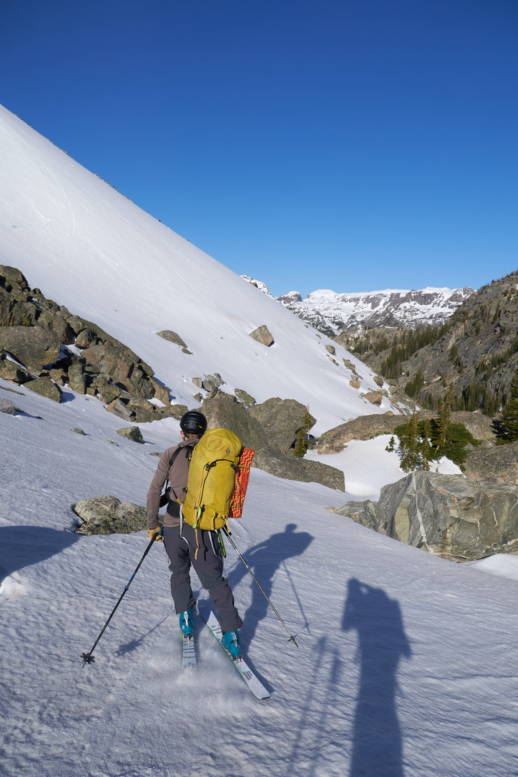
The next part of the day is a bit of a blur. Our next notable peak was Yukon Peak, but between that and us was miles of undulating terrain and unnamed summits. We embraced the slog and meandered up and down along the Divide. I’ll let the pictures do the talking here!
Turns out long ski traverses are all about aerodynamics:
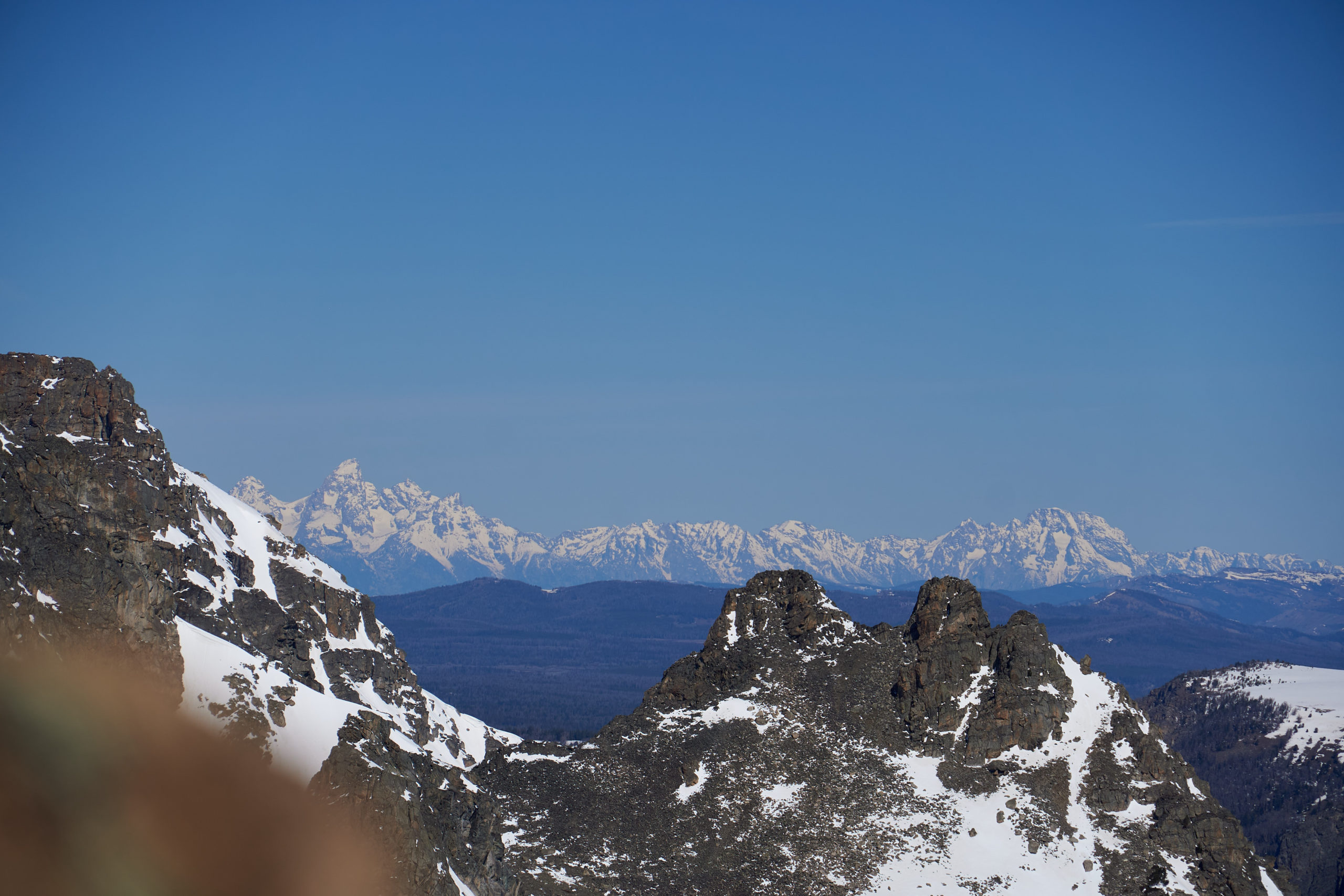
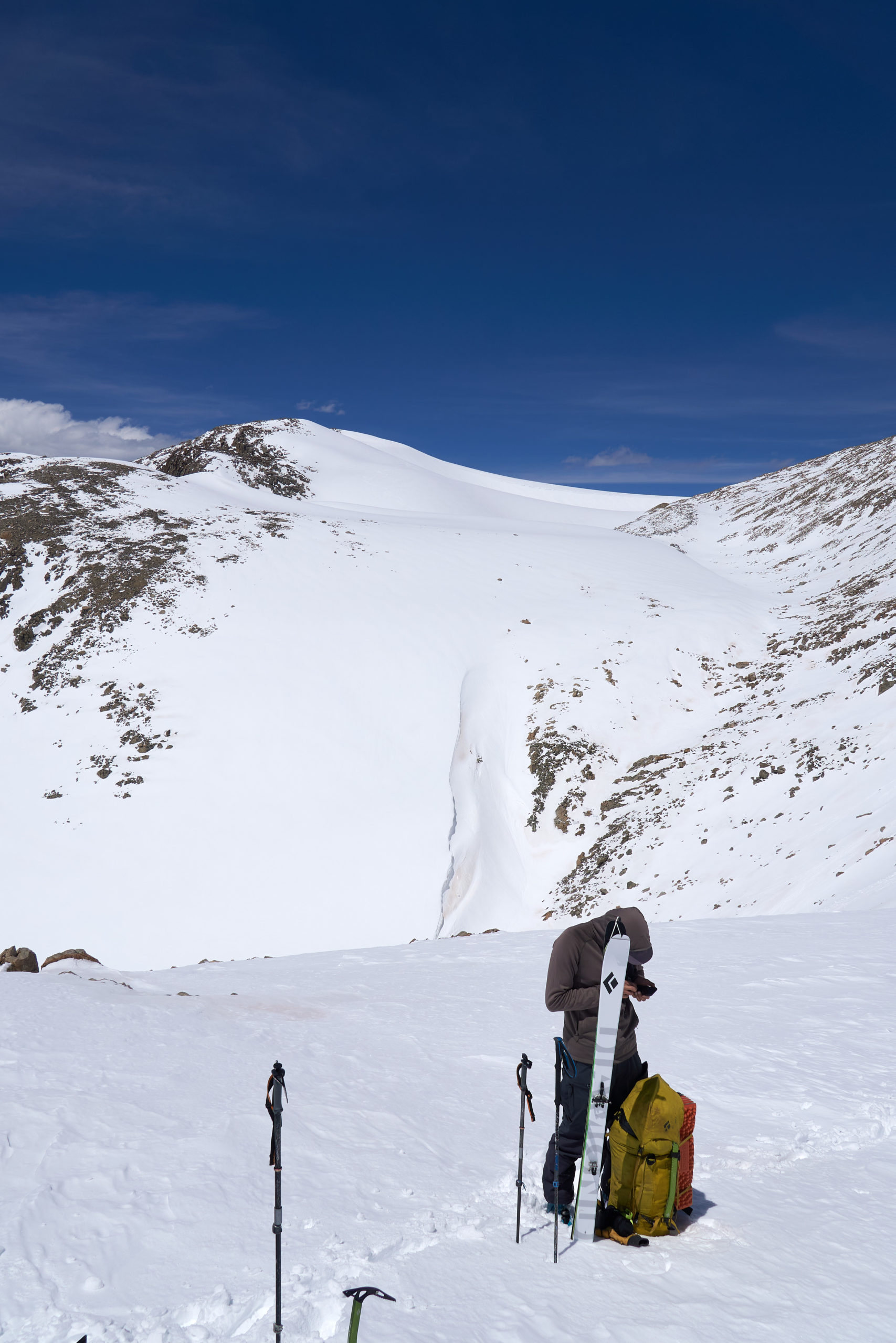
Telephoto lenses are key for tricking yourself into thinking you’re close:
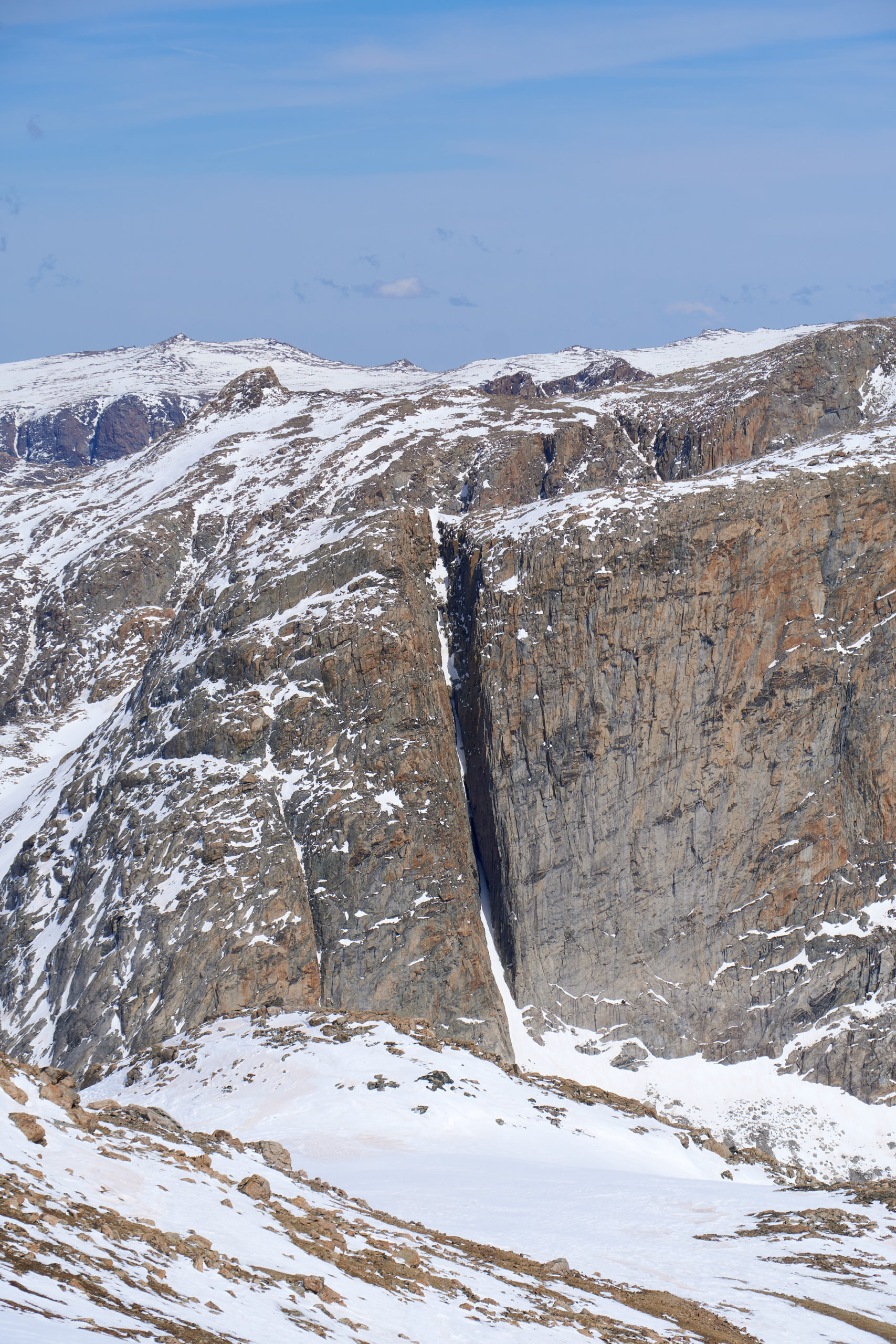
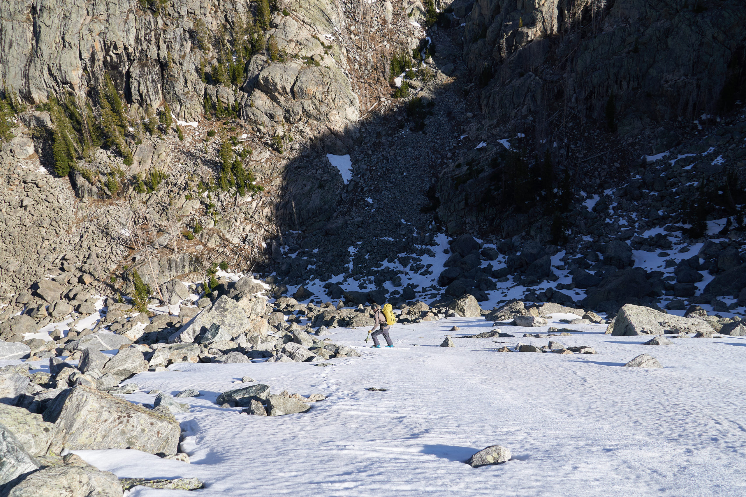
Wow Osborn looks really far away:
A future 50 Classic Blade Descents of North America line?
Finally we arrived at the summit of Yukon Peak. After five miles of traversing from Northwest Peak it felt good to be standing on a named summit again. It felt even better to look down at the nice long ski descent we had awaiting us. It felt even, even better knowing that the climb out across from us was the last major climb of the day. We hung out at the summit for a bit and then clicked in for one of our longest descents of the day. The Winds had received a few inches of snow earlier in the week, and at these higher elevations it had failed to corn u, instead forming a breakable crust. Our turns were not pretty, but we made it down to Iceberg Lake and Sourdough Glacier in one piece.
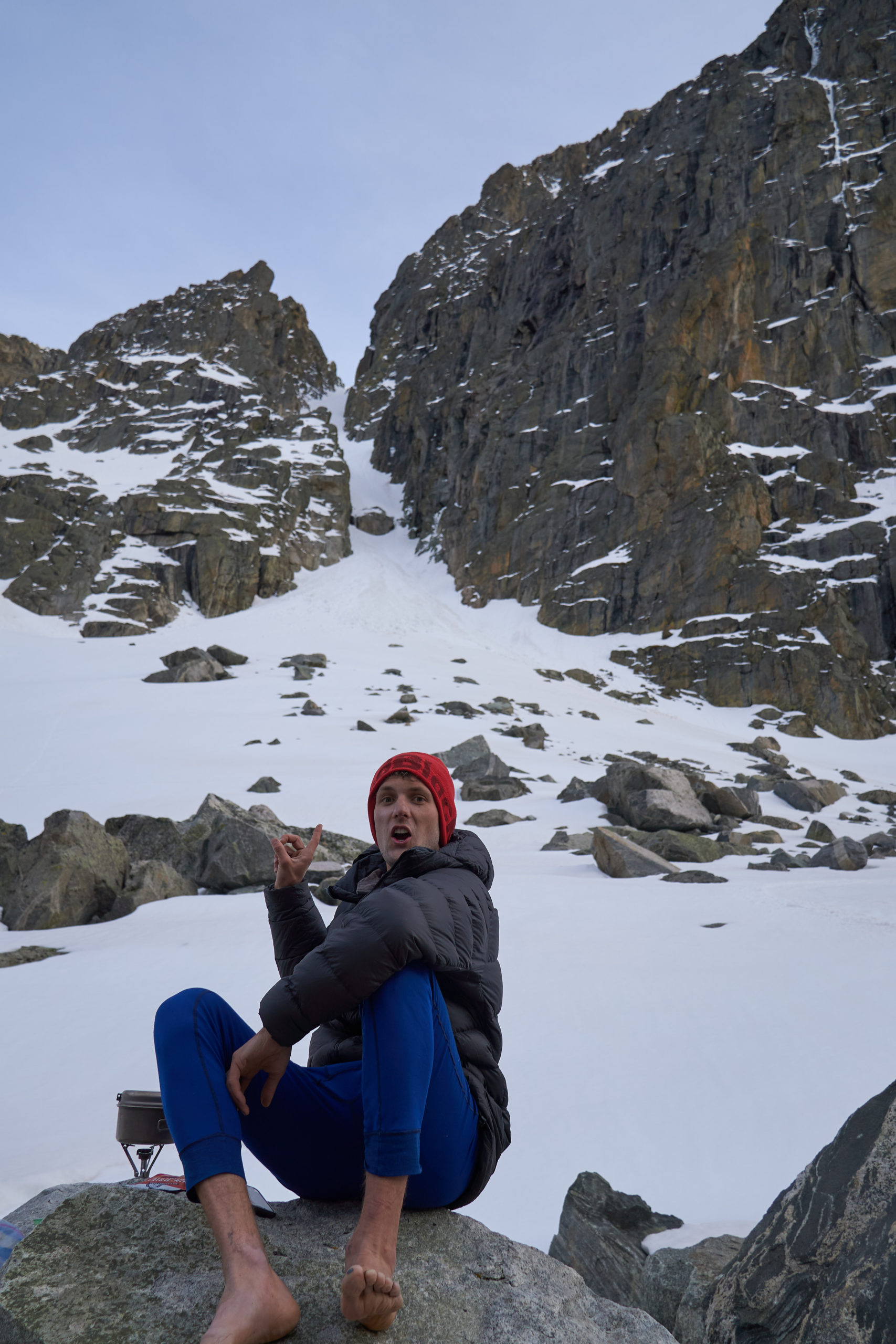
The basin containing Iceberg and Baker Lake is absolutely stunning. Sourdough Glacier spills directly into Iceberg Lake, forming a vertical terminus that feels more reminiscent of Alaska than of Wyoming. The rocky faces and impressive couloirs of Klondike Peak add to the alpine ambiance. Feeling both confident in the afternoon weather and daunted by the climb up to the entrance of Tourist Creek, Garrett and I decided to take a an afternoon siesta in this beautiful location. The afternoon light washed over the rugged landscape and I felt so lucky to get to just relax and exist in such a remote and wild spot.
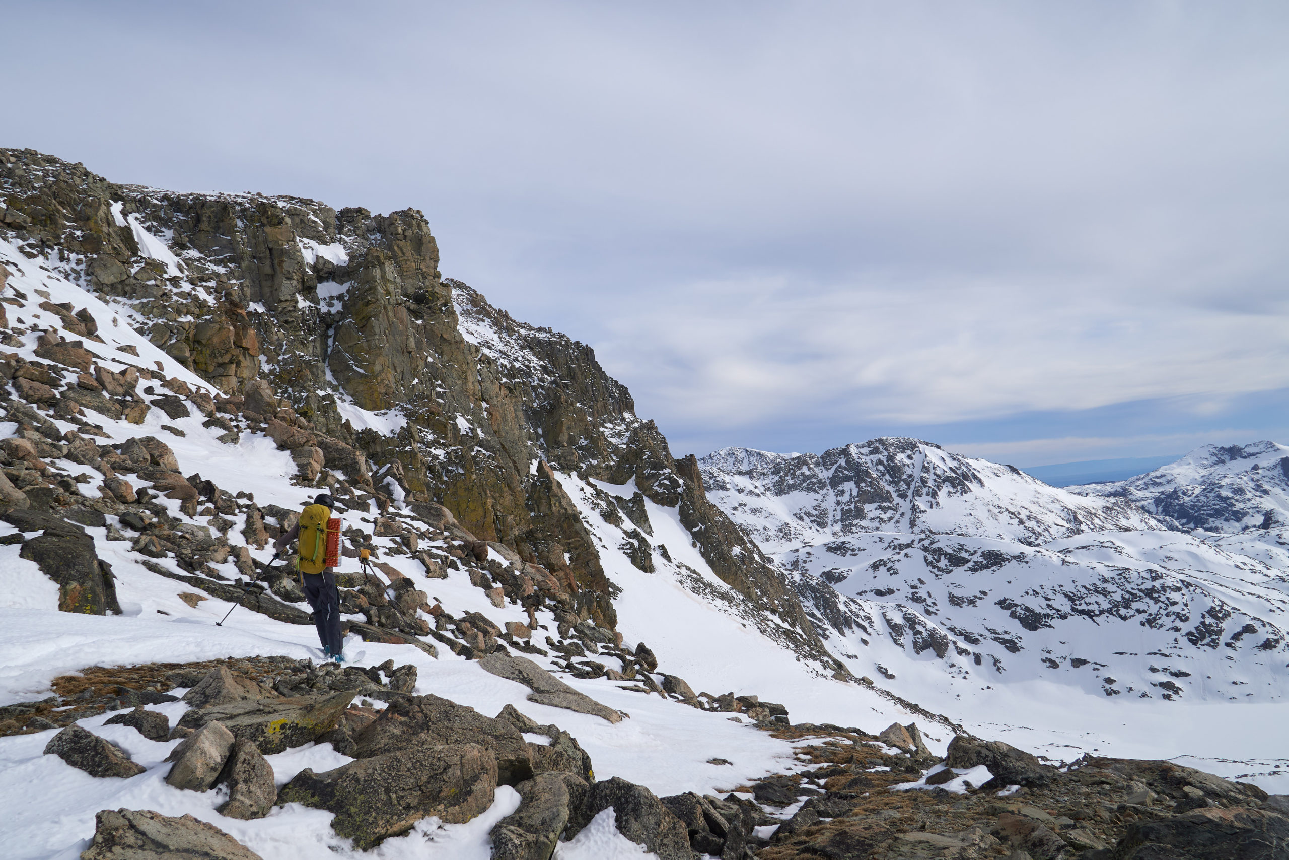
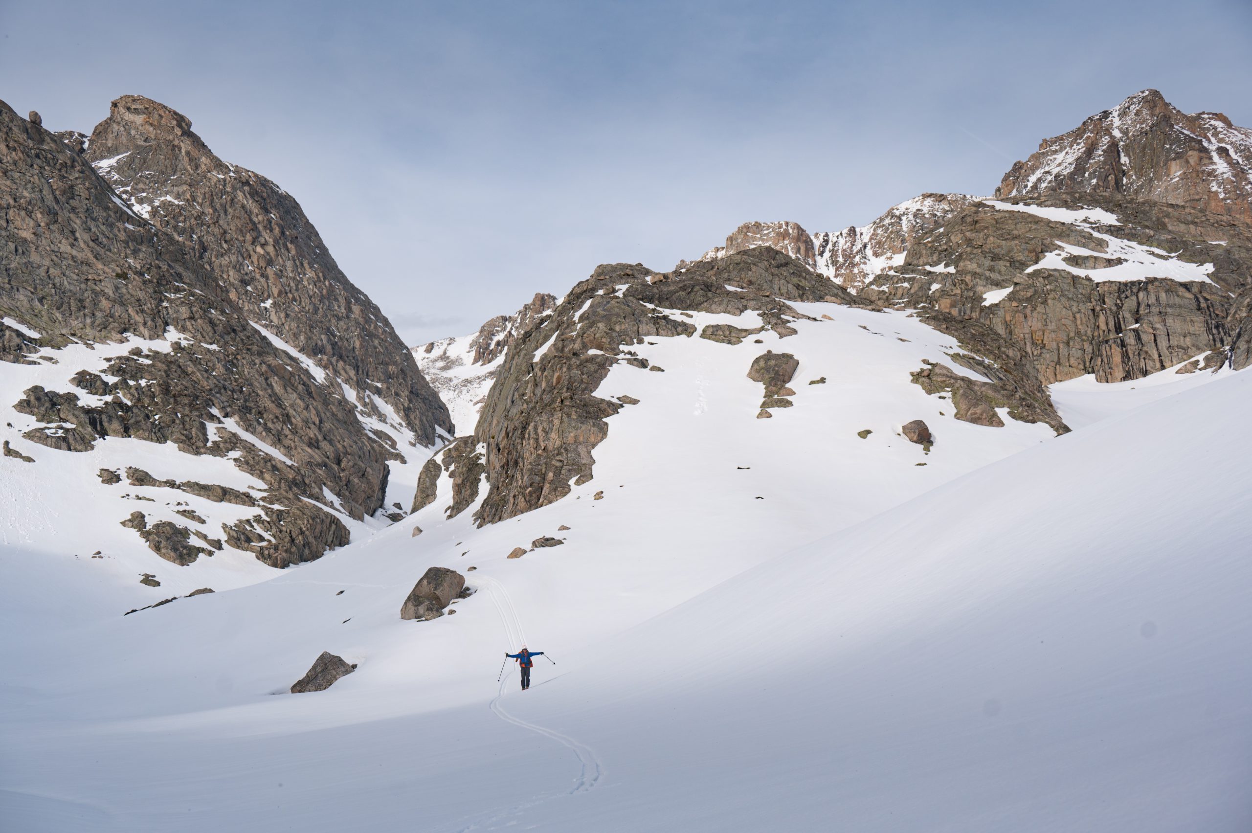
After about 45 minutes of relaxation, I roused Garrett from his slumber and we began the ascent up to the notch between Klondike Peak and Pedestal Peak. Feeling rejuvenated and sensing the finish line, we flew up the climb. Garrett can be seen below, skinning up the slope with the south face of Yukon Peak we descended visible behind.
An hour of skinning later and we arrived at a height of land overlooking the notch. We both breathed a sigh of relief as we ripped skins and transitioned for the final time. A short little headwall (on more breakable crust) brought us the the notch proper. The snow had largely melted out of this wind-blown area and we peered down the drainage, trying to find a way through the rocks.
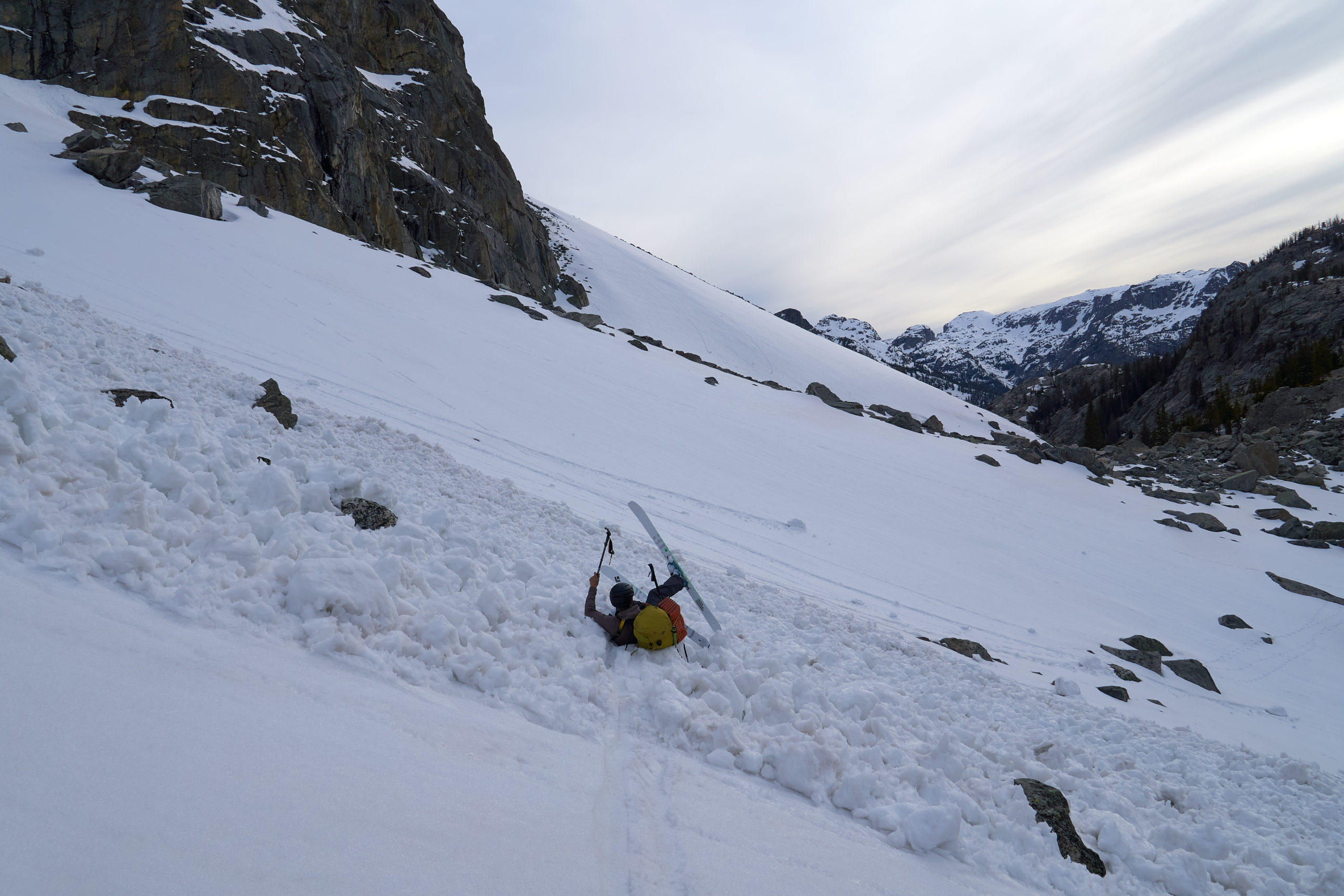
Some billy-goating through the rocks brought us to a steep, thin chute of snow that would deposit us into the mellower drainage below. Garrett went first and styled the descent, making the hop turns on unconsolidated mush look easy. I followed behind and manged to avoid the lurking rocks and joined Garrett below.
The skiing below here was a well-deserved victory lap. We navigated down the drainage, savoring the easy snow and large alpine faces all around us.
The valley seemed to continue on forever, and we let ourselves relax and enjoy the thick air and easy travel.
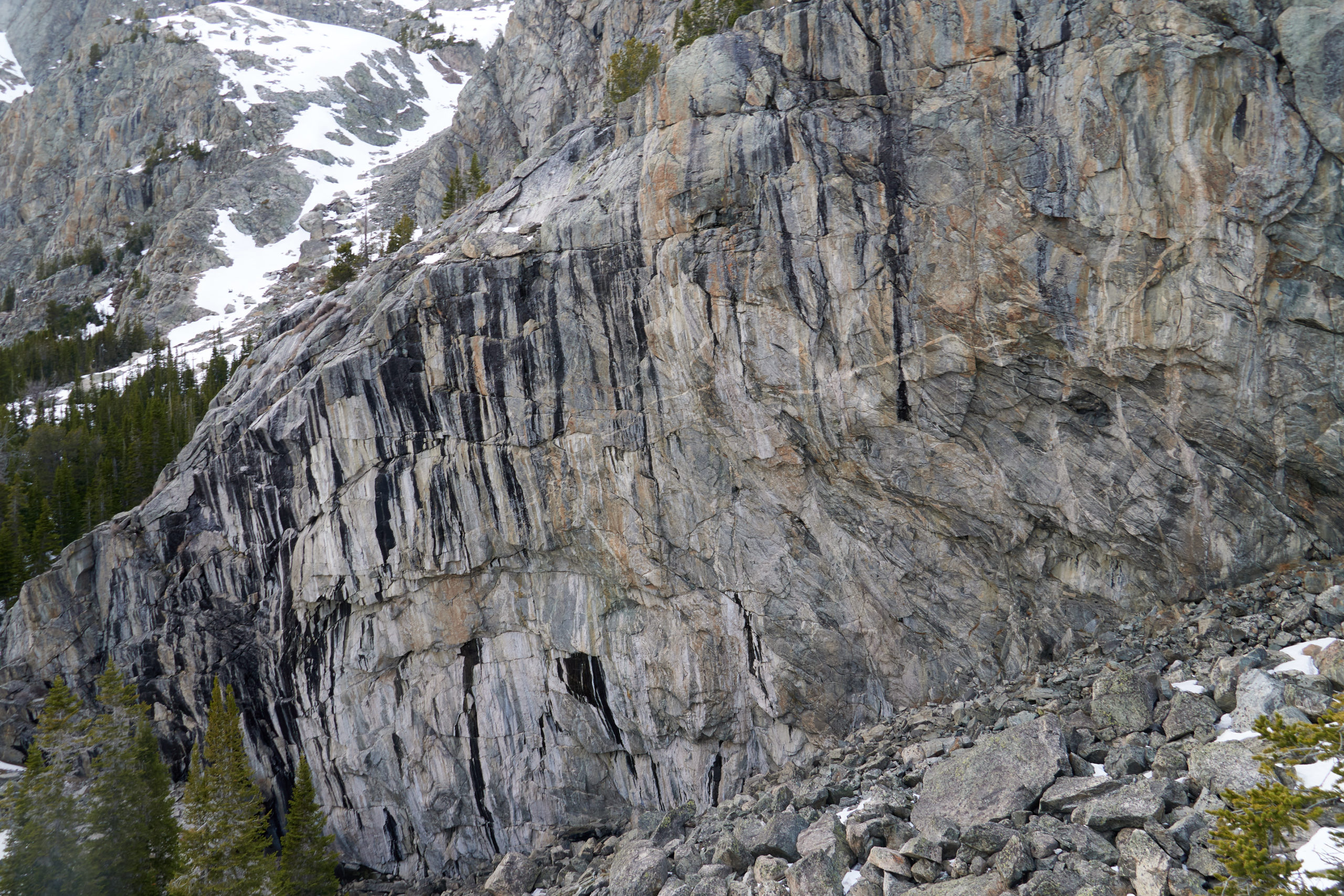
As we worked our way down the valley the snow began to become un-supportive and, after 13 hours on the go, the idea of a warm dinner and soft sleeping bag became more and more appealing. The terrain offered little in the way of dry, flat campsites so we pushed forward. Garrett insisted on a detour in order to get view of the “sickest sport crag in the Winds” that he and Hunter had spotted on their approach two years prior. At the time it seemed way less sick than getting my ski boots off, but I have to admit it was a pretty cool piece of rock. If a 25 mile approach and hand-drilling doesn’t scare you off, it’s all yours!
The wheels continued to come off as we navigated downwards in search of a campsite.
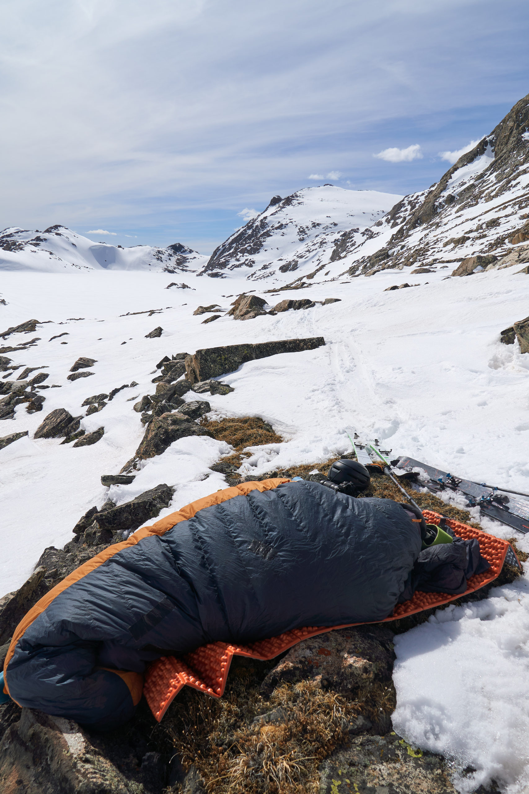
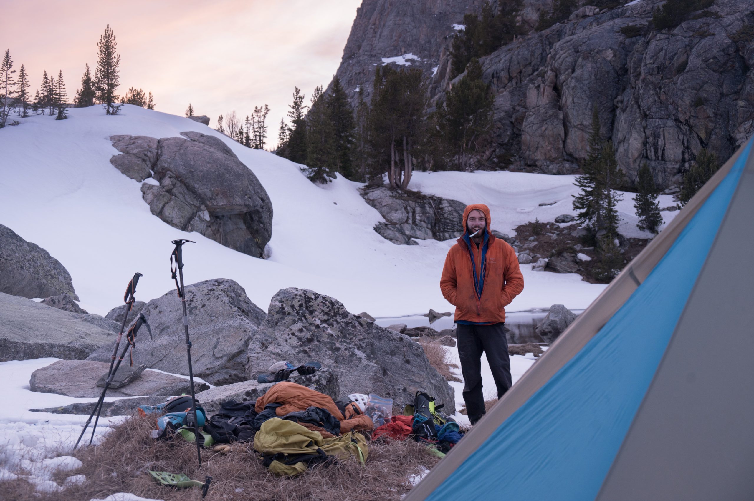
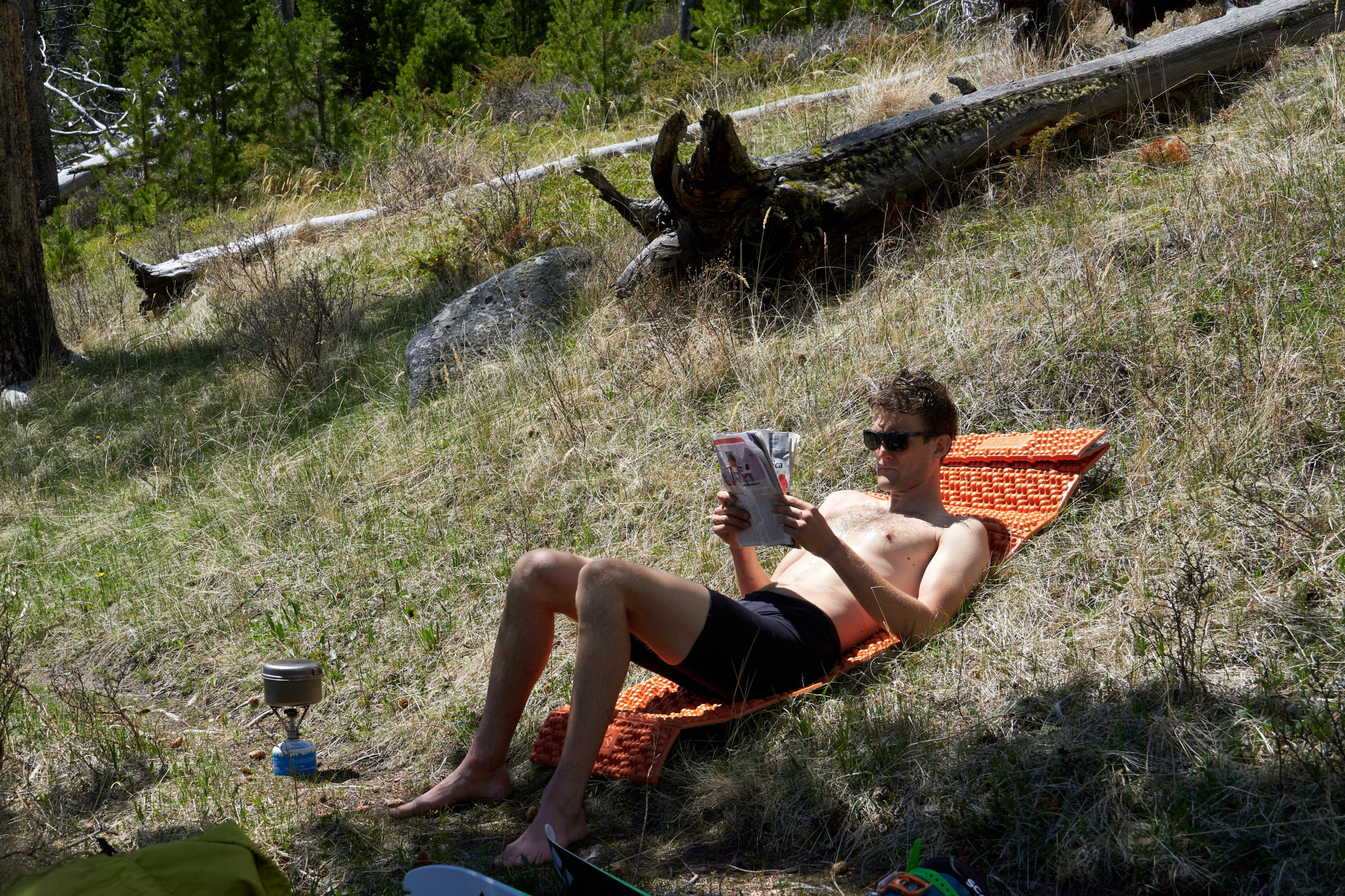
Finally, we arrived at a beautiful, partially melted-out pond. The only dry ground was some lumpy marsh-grass but we happily stopped without a second thought. We had been on the go 13.5 hours, covered 23 miles, climbed 7,000 feet, all with a heavy pack, the vast majority above 12,000 feet. Ouch. Saying it felt good to sit down and get my boots off would be an understatement.
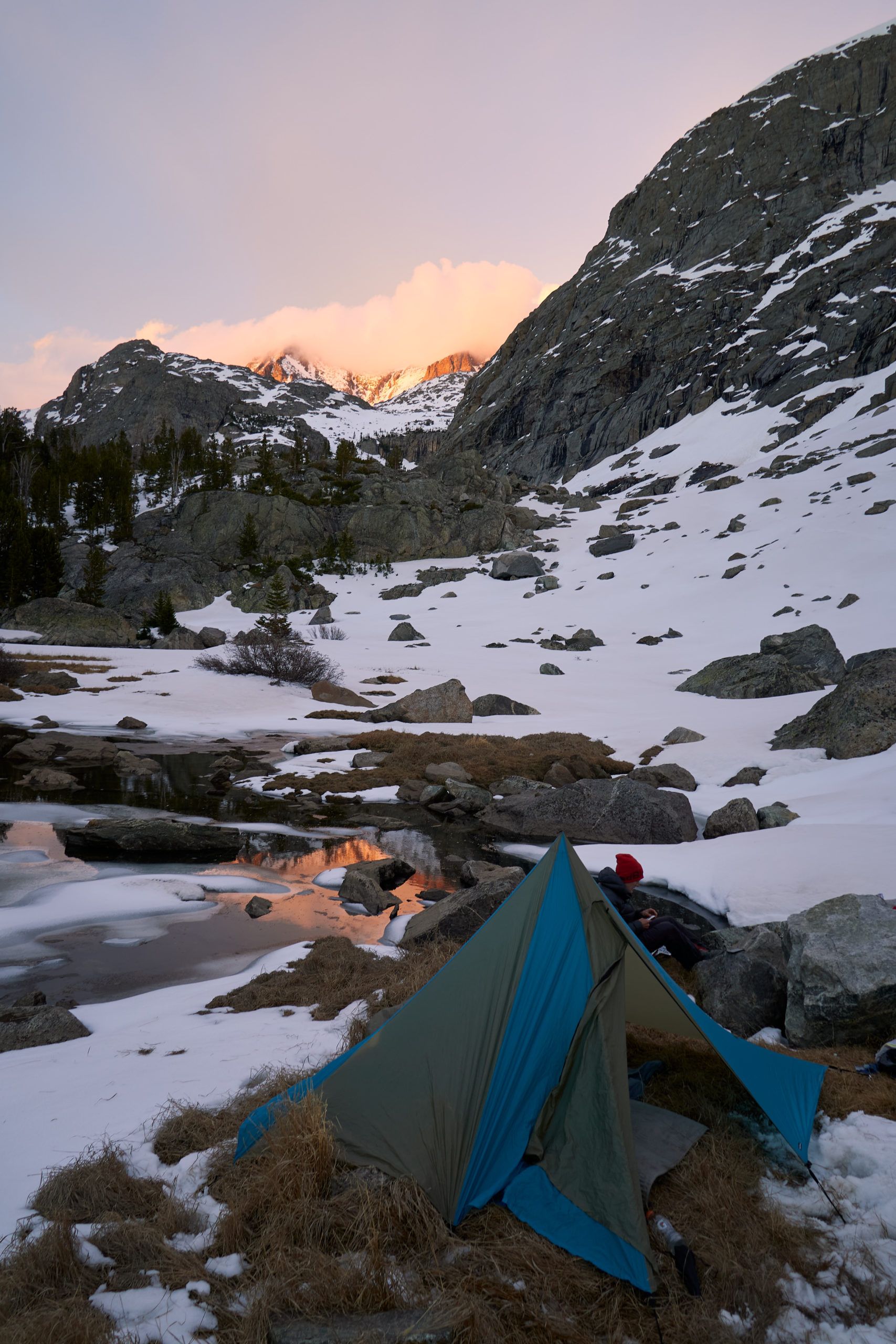
We whipped up a delicious dinner of Annie’s Mac, tuna, and sun-dried tomatoes and admired the amazing campsite. It was hard to say if Garrett was more stoked on the food or the rad couloir right above camp.
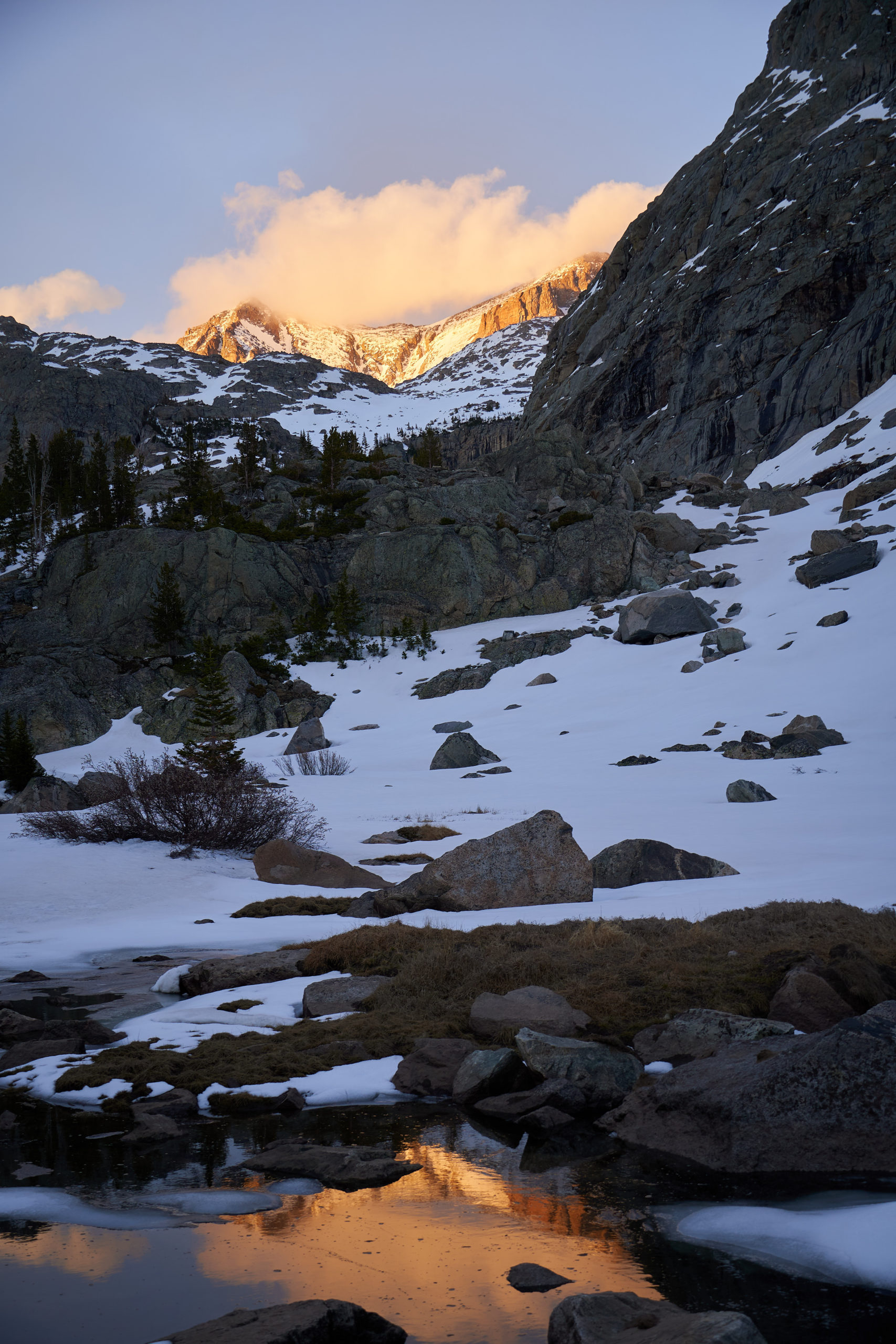
We wrapped up dinner right as the sun began to set. The alpine glow illuminated the mountains around us and we basked in the wonderful endorphins from our big day out.
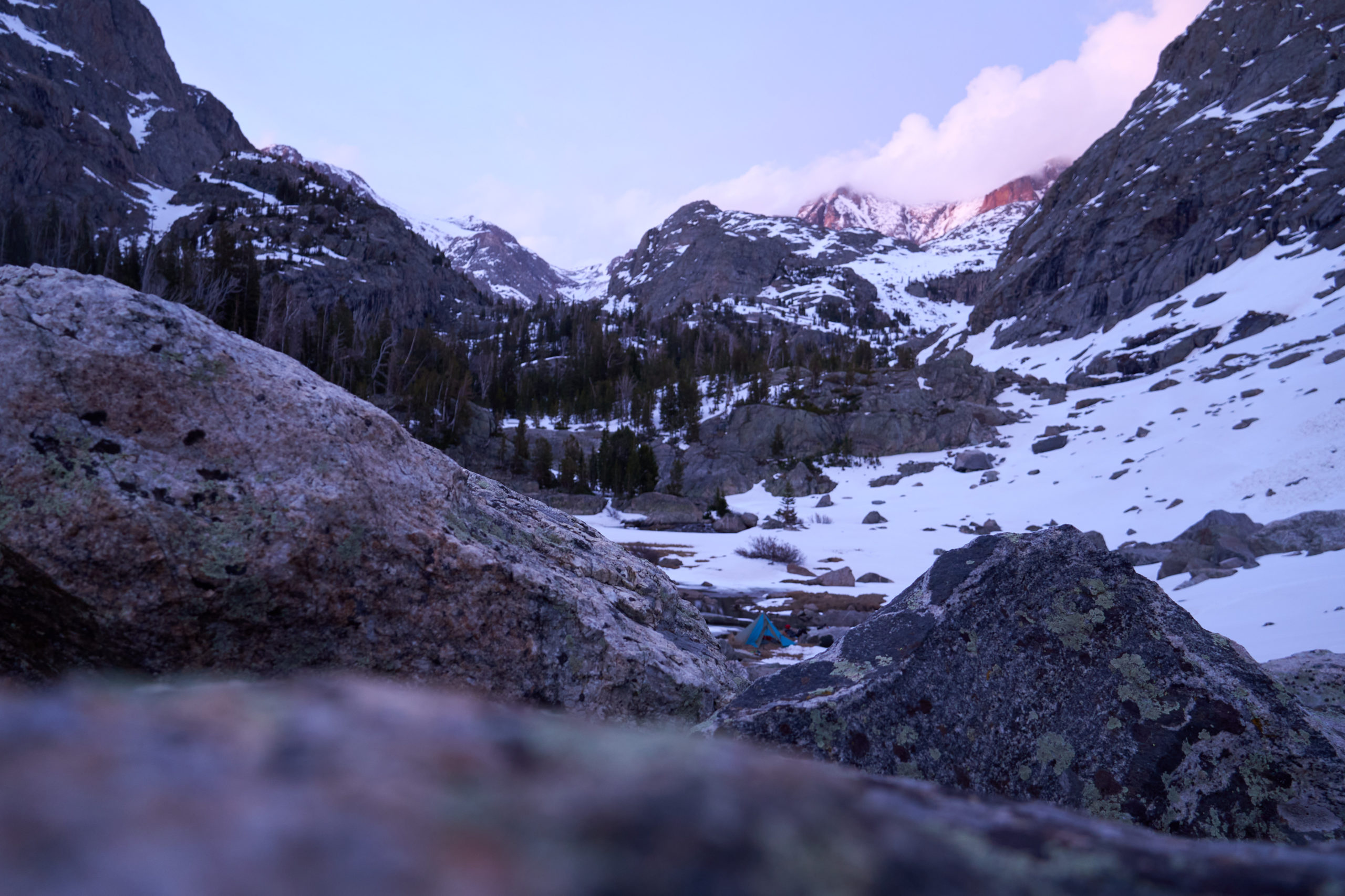
Needing the rest, we let ourselves sleep in the next morning. We awoke as the sun began to hit our tent and had a nice leisurely morning packing up. We left camp around 8:00am feeling rejuvenated for the day ahead.
Optimistically, we left camp on skis. We skied for 100 yards before reaching the talus field. We worked our way down through the exposed slope and picked our way through rocks for a couple more minutes before deciding the skiing portion of our trip was done.
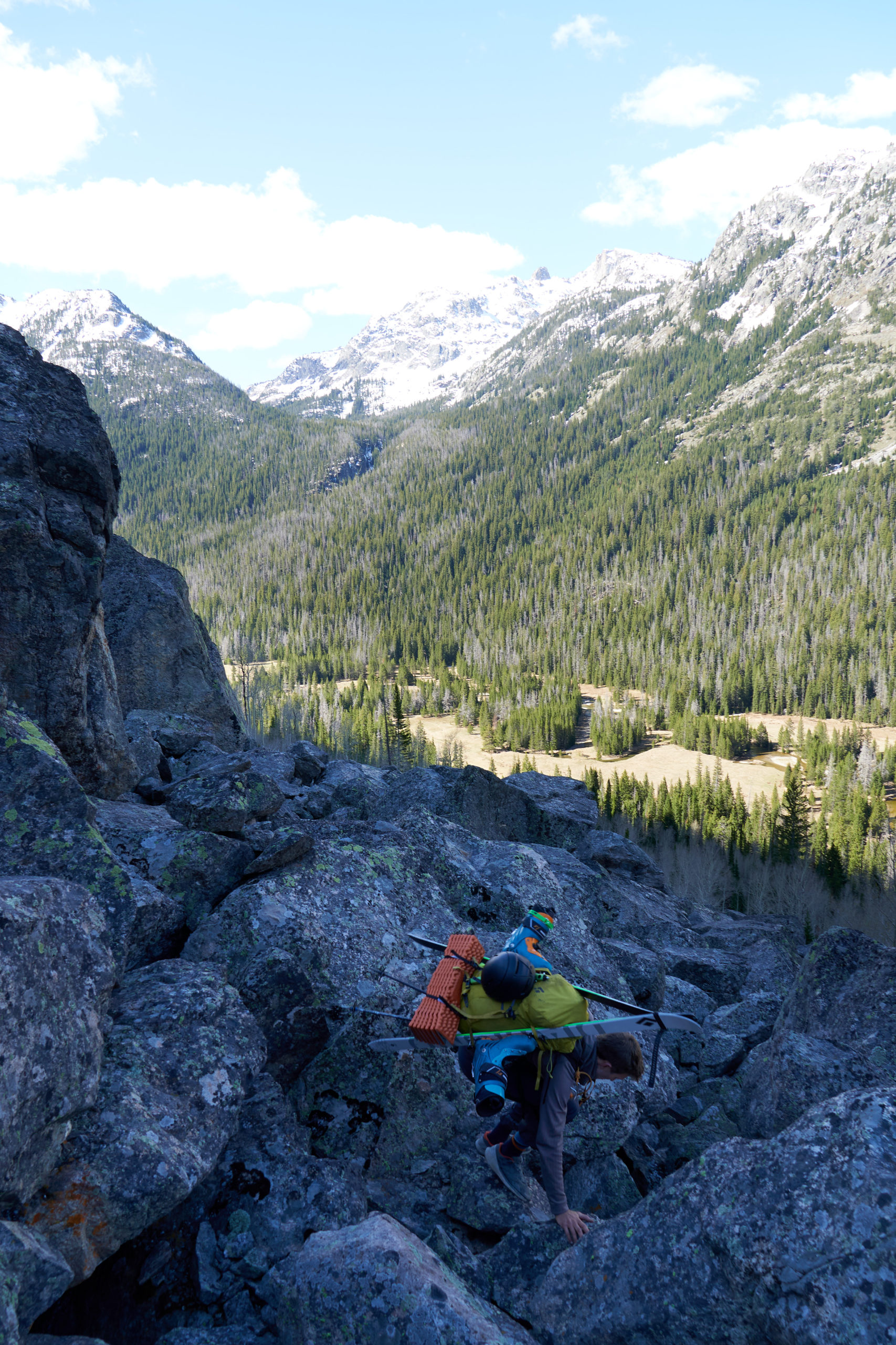
The steep talus that lines the side of Tourist Creek was absolutely heinous to walk down. It was that perfect size of talus where it’s too large to be slide-able scree, but too small to be stable to walk on. Seeing almost no human traffic, the rocks wanted to shift with the smallest provocation and they contained enough energy to do some serious damage. The valley floor appeared close but didn’t seem to get any closer. My ankles were bruised and bleeding by the time we made it into the larger talus below.
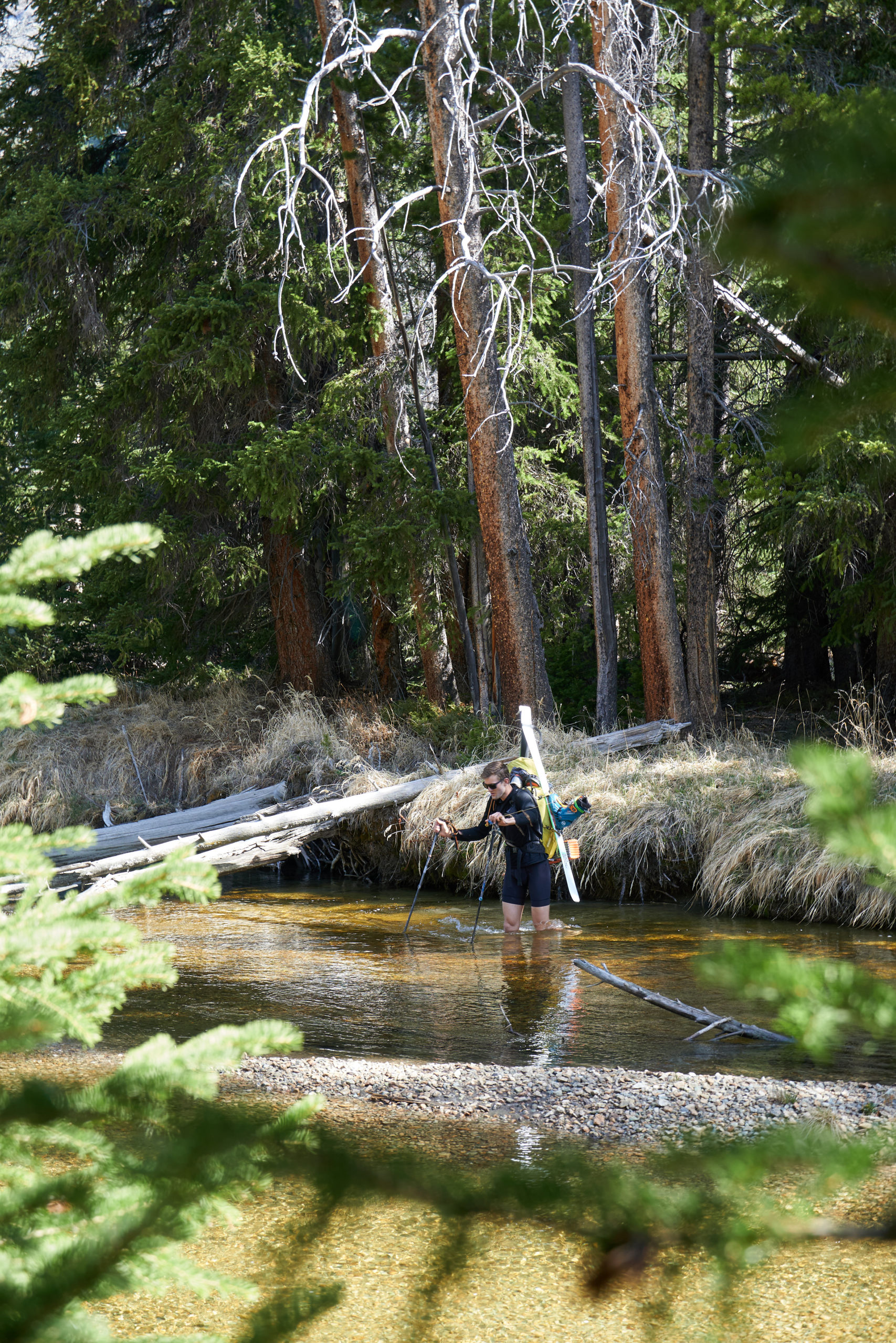
With much patience, we eventually arrived in the meadow below. The river was lower than we expected, and we quickly found a good place to cross.
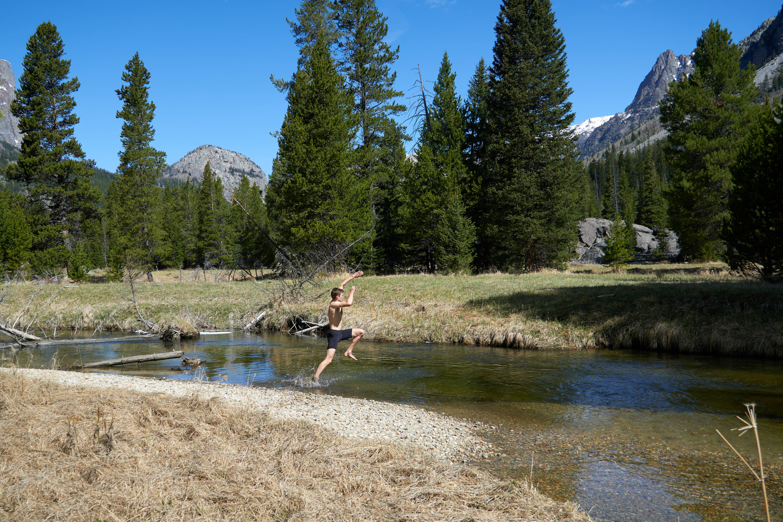
We took our time on the opposite shore. With a nice flat trail the rest of the way out, we knew the rest of the trip should be smooth sailing. We swam in the river and fueled up for the hike ahead.
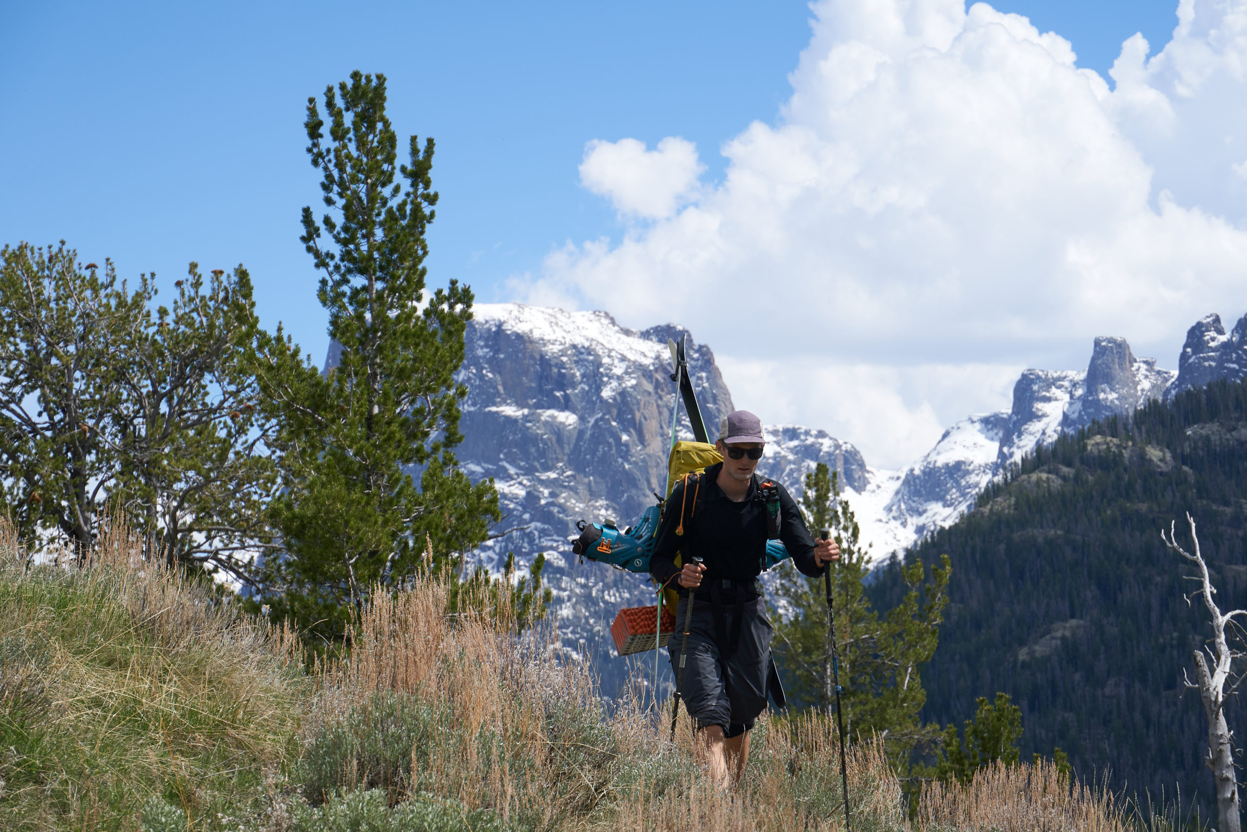
Hiking out the meadow was absolutely stunning with massive peaks on all sides. We had still not seen any other humans all weekend and it felt luxurious to be in such a beautiful spot on a long weekend with no one else around. After all the up and down the previous day it was also a welcome reprieve to walk on flat ground.
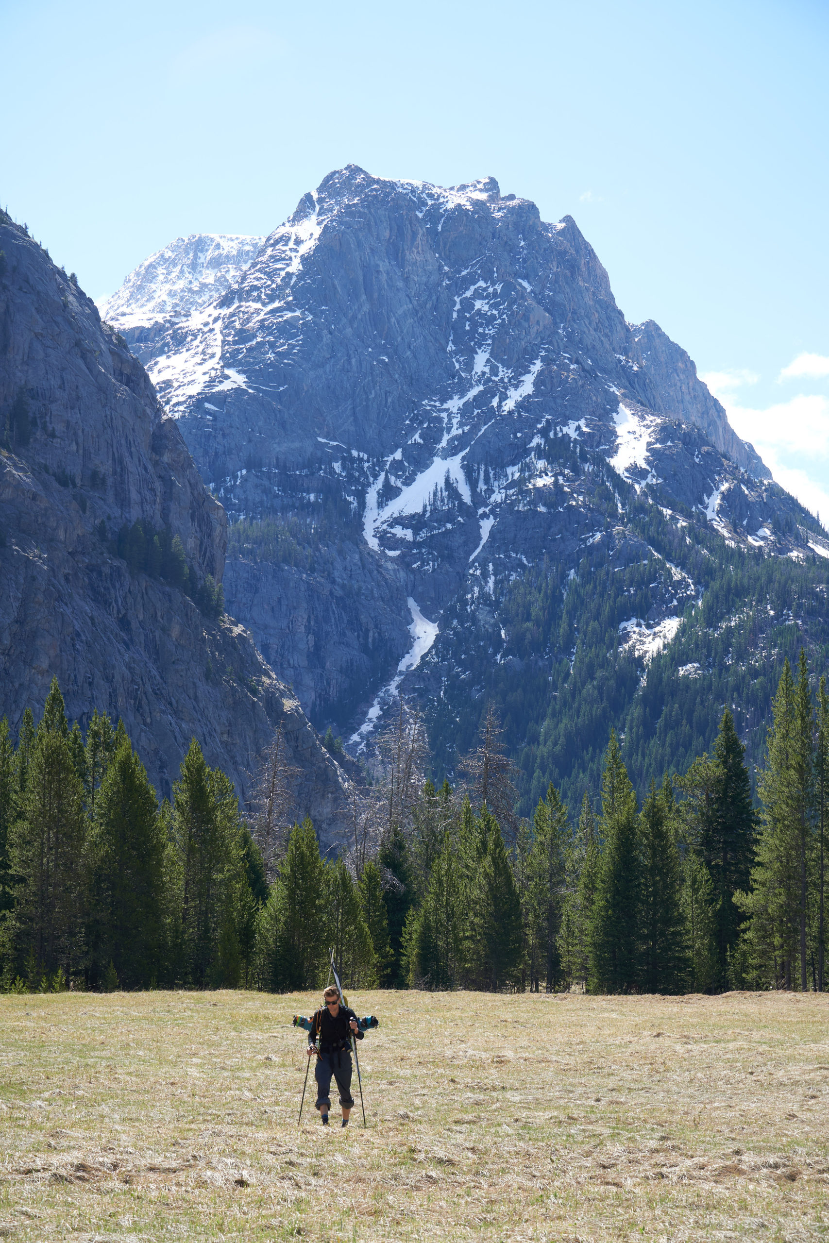
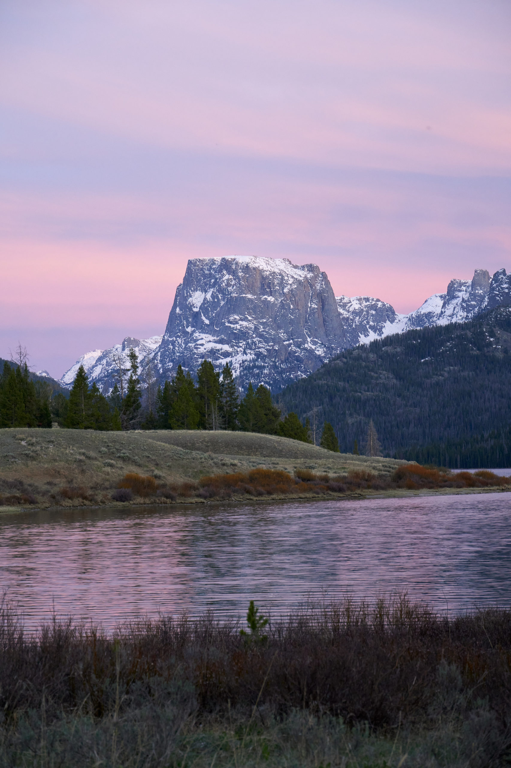
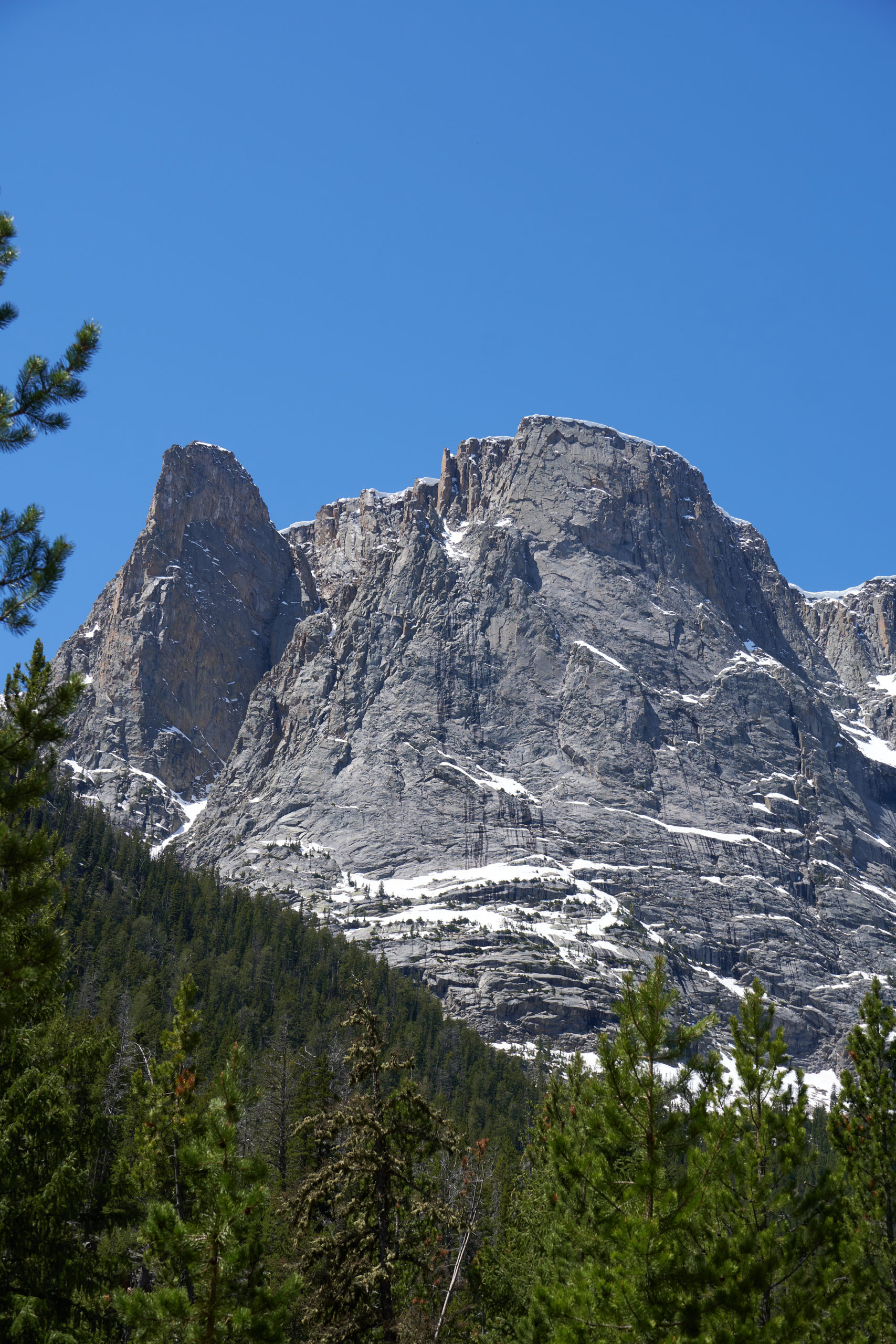
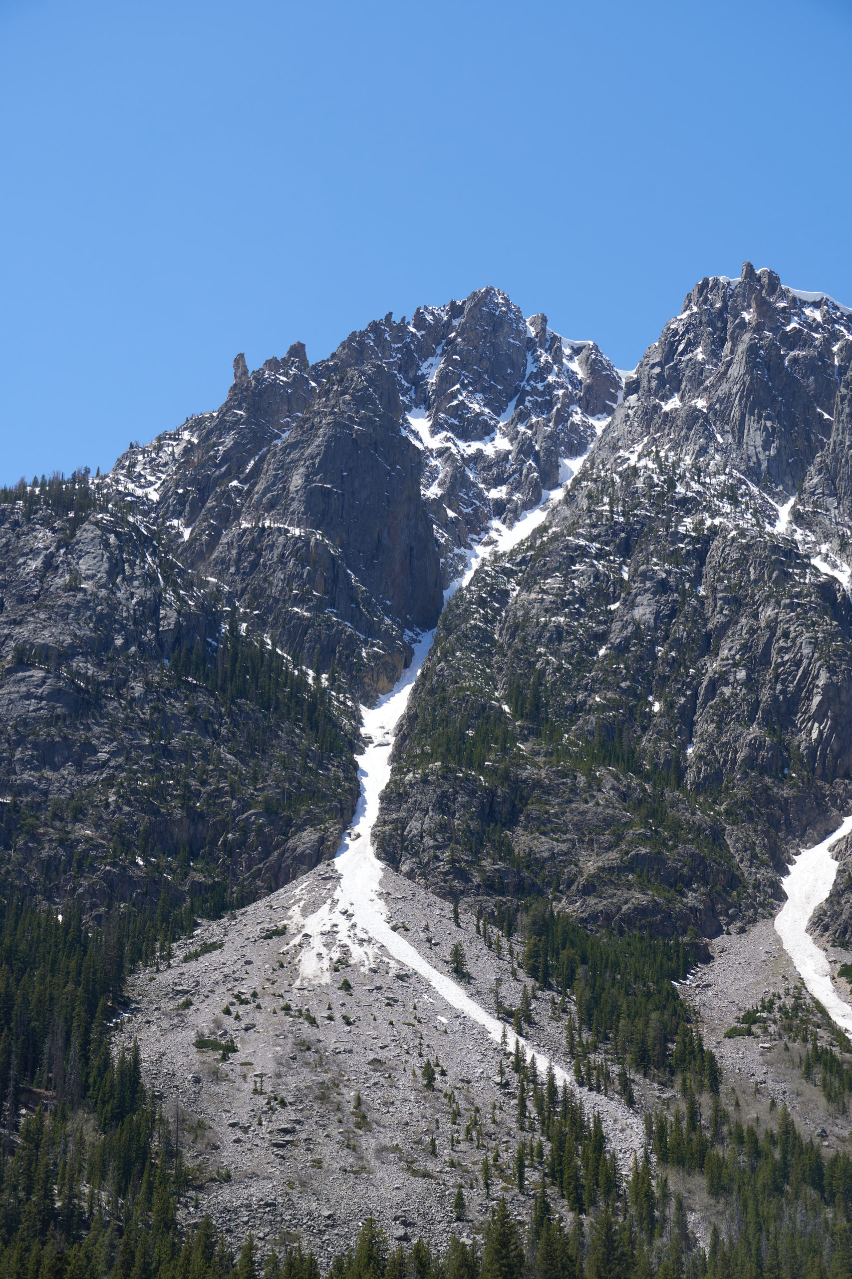
The trail out parallels the Green River and offers great views the entire way. The trail is almost entirely downhill and we were able to cover the 11 miles to the first Green River Lake quickly. Some highlights along the way were the impressive Squaretower and East Face of Squaretop and a massive couloir that split the unnamed peak to the north of Squaretop.
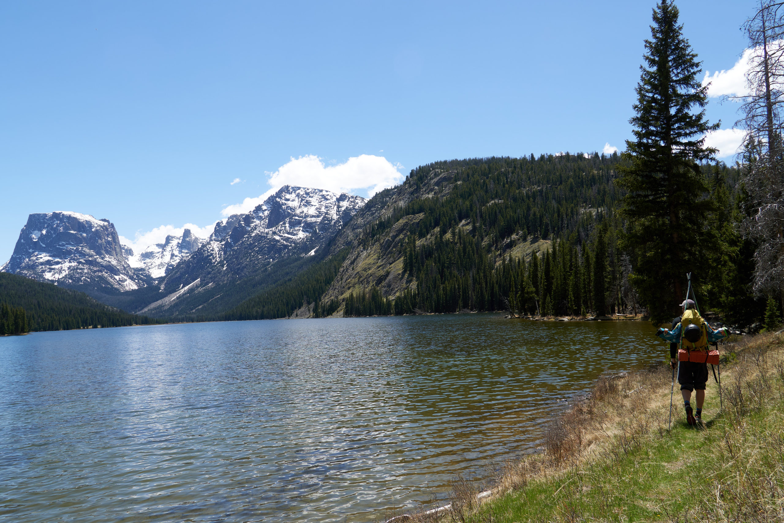
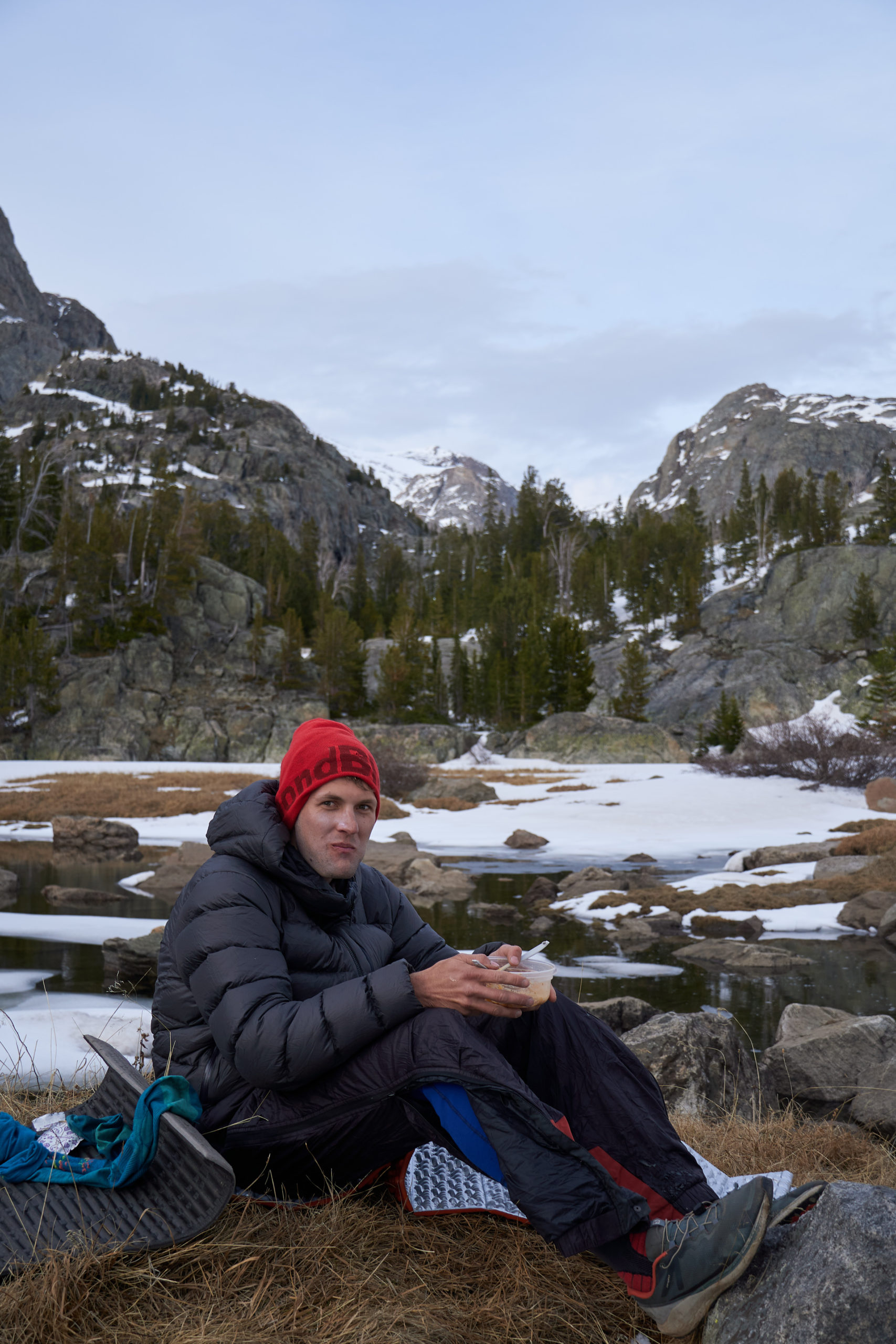
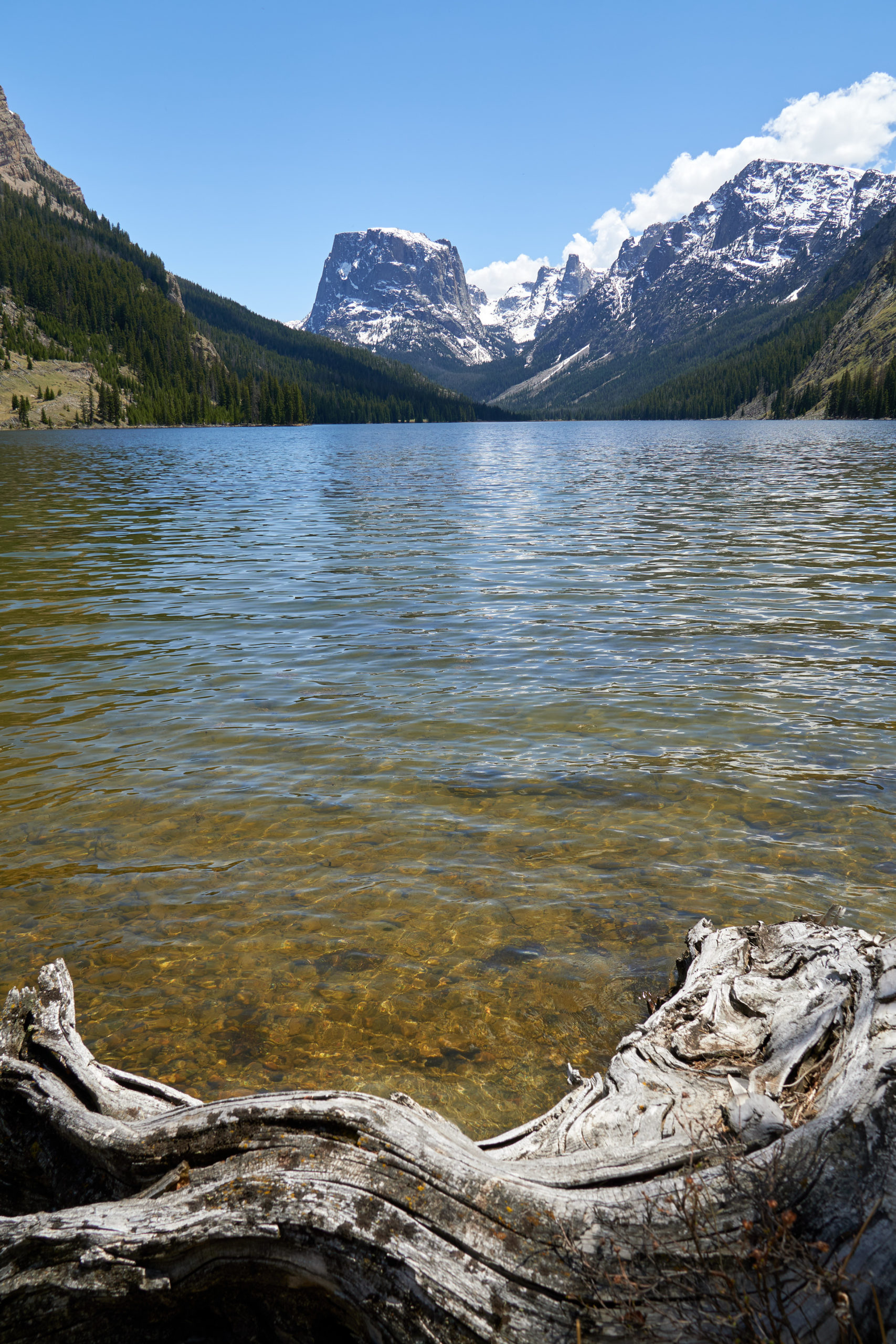
We had run out of Aquamira the previous night so we resisted drinking untreated water from the river. Growing quite thirsty, we decided to stop at the first Green River Lake to boil some water and soak our feet. The views from this lake are simply out of this world and we ended up taking a nice long break to relax before the final few miles out.
Our shoulders and feet feeling rested and Garrett’s mind full of new knowledge about the world around us, we hit the trail again and traversed around the second Green River Lake. These final four miles went quickly, and we arrived back at the car around 4:00pm, 8 hours after leaving camp.
The entire journey took less than 45 hours, but in that time we had covered 43 miles and traversed through some truly breathtaking terrain. We had suffered at times, but it was undoubtedly worth it to experience some of the most beautiful mountain terrain I’ve seen. A fitting end to an absolutely amazing season of skiing, it was also my first real overnight ski traverse and definitely leaves me inspired to do future ski-powered adventures. It also puts into perspective just how badass Forrest McCarthy’s Lander to Jackson Hole traverse was.
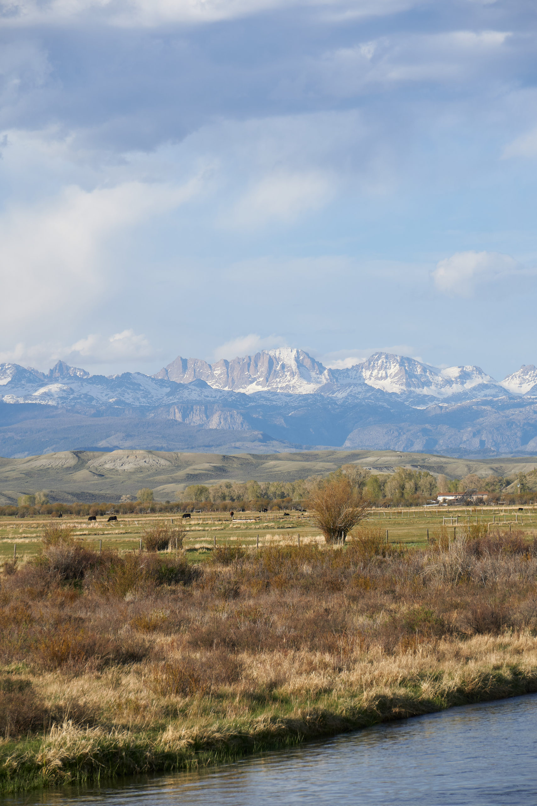
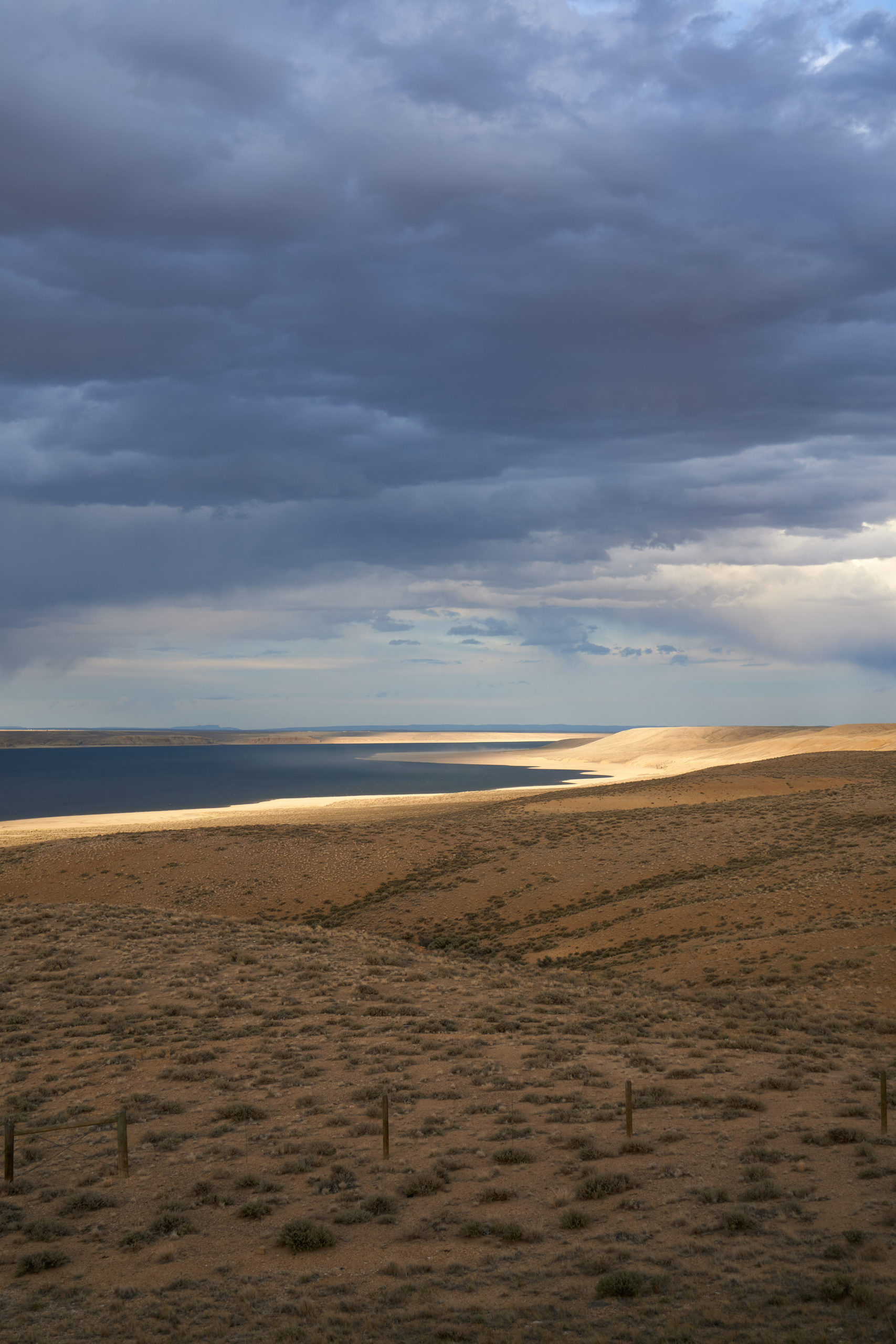
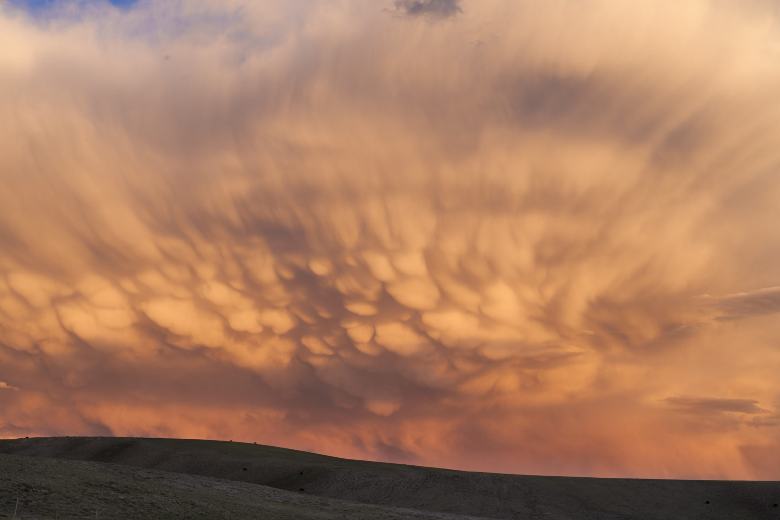
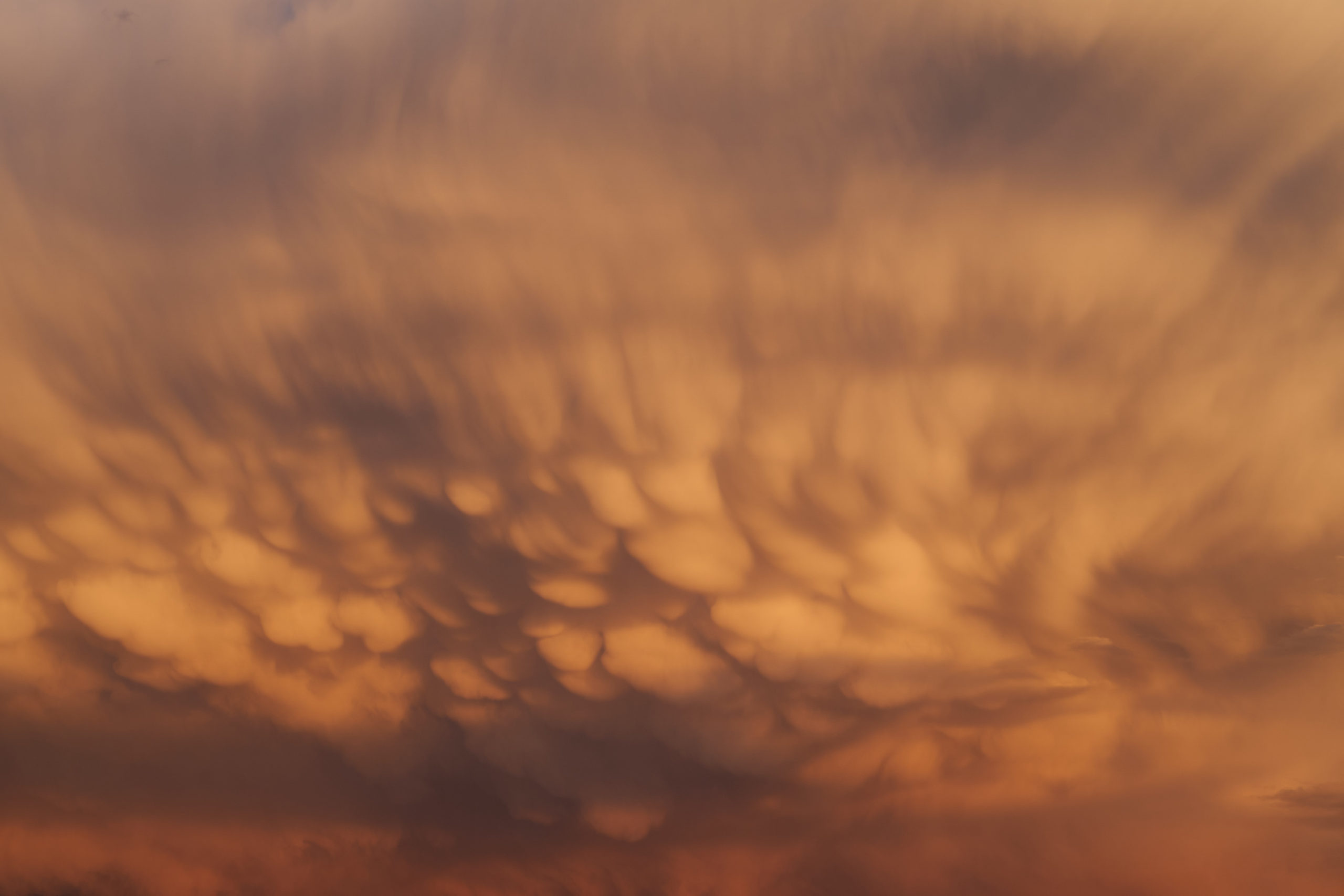
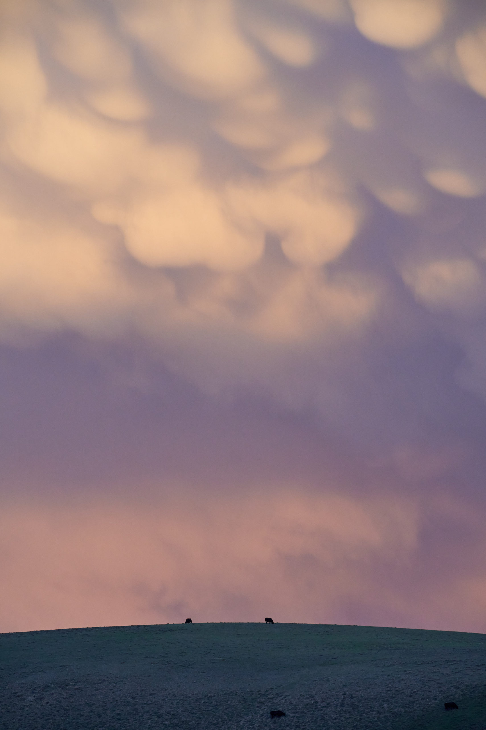
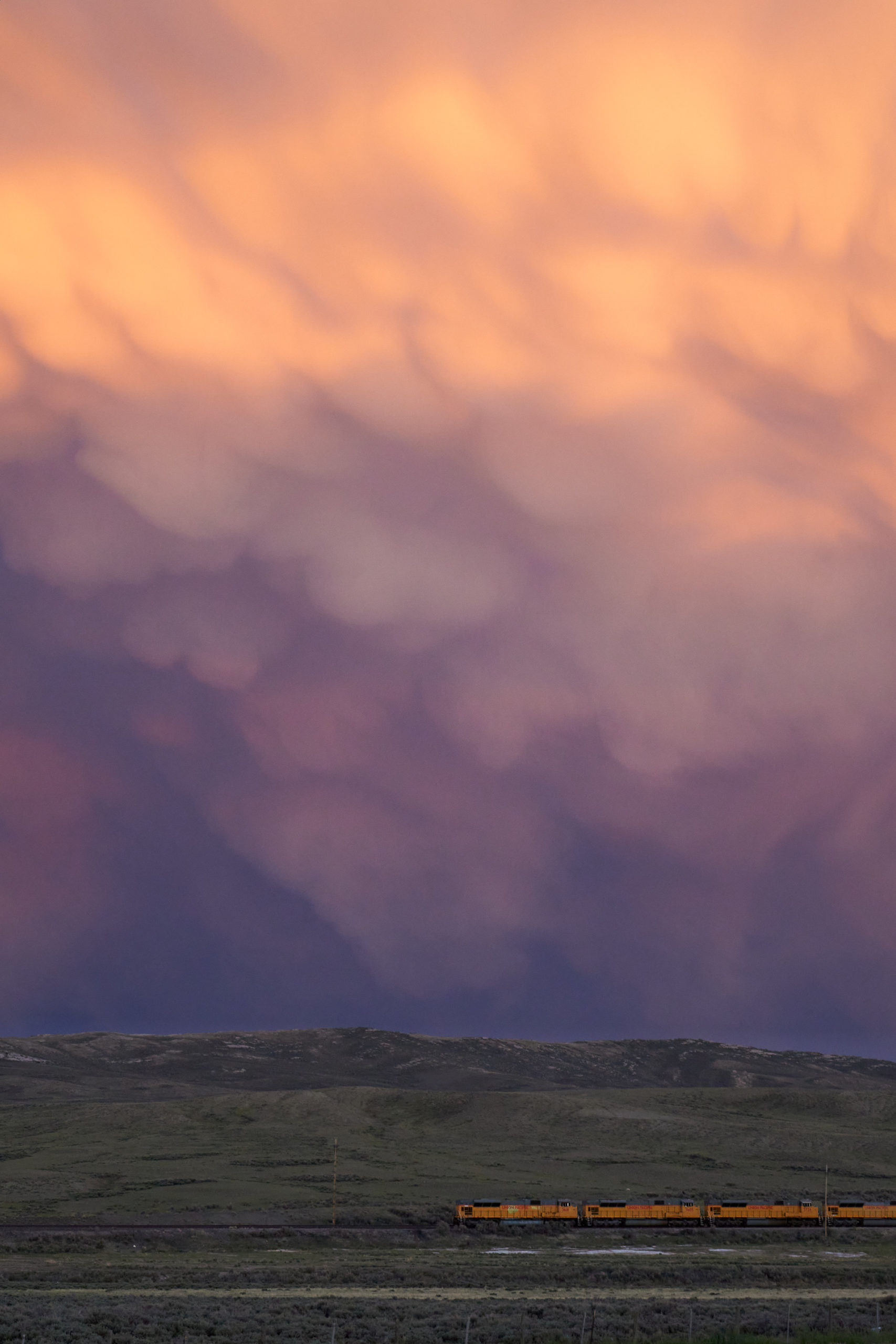
The magic of the weekend was not quite over. A magical combination of evening light and stormy weather provided us with one of the most spectacular sunsets of my life. We made numerous stops in-between Pinedale and I-80 to stop and look, wide-eyed, at the surreal landscapes before us. I’ll leave some pictures from the drive home as a fitting conclusion to this amazing weekend.
Leave a Reply